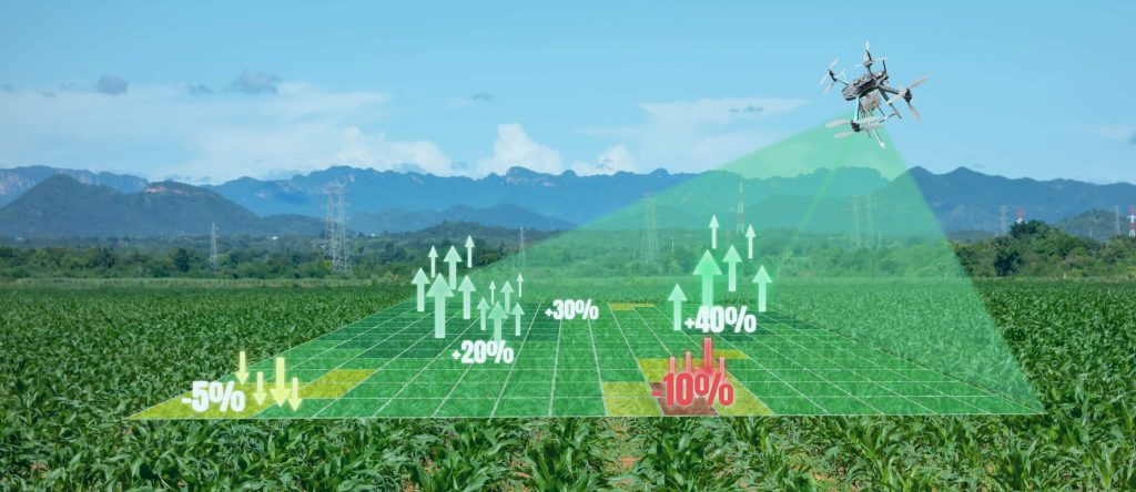
Maximize your seasonal yield by monitoring the well-being of your crops and livestock.
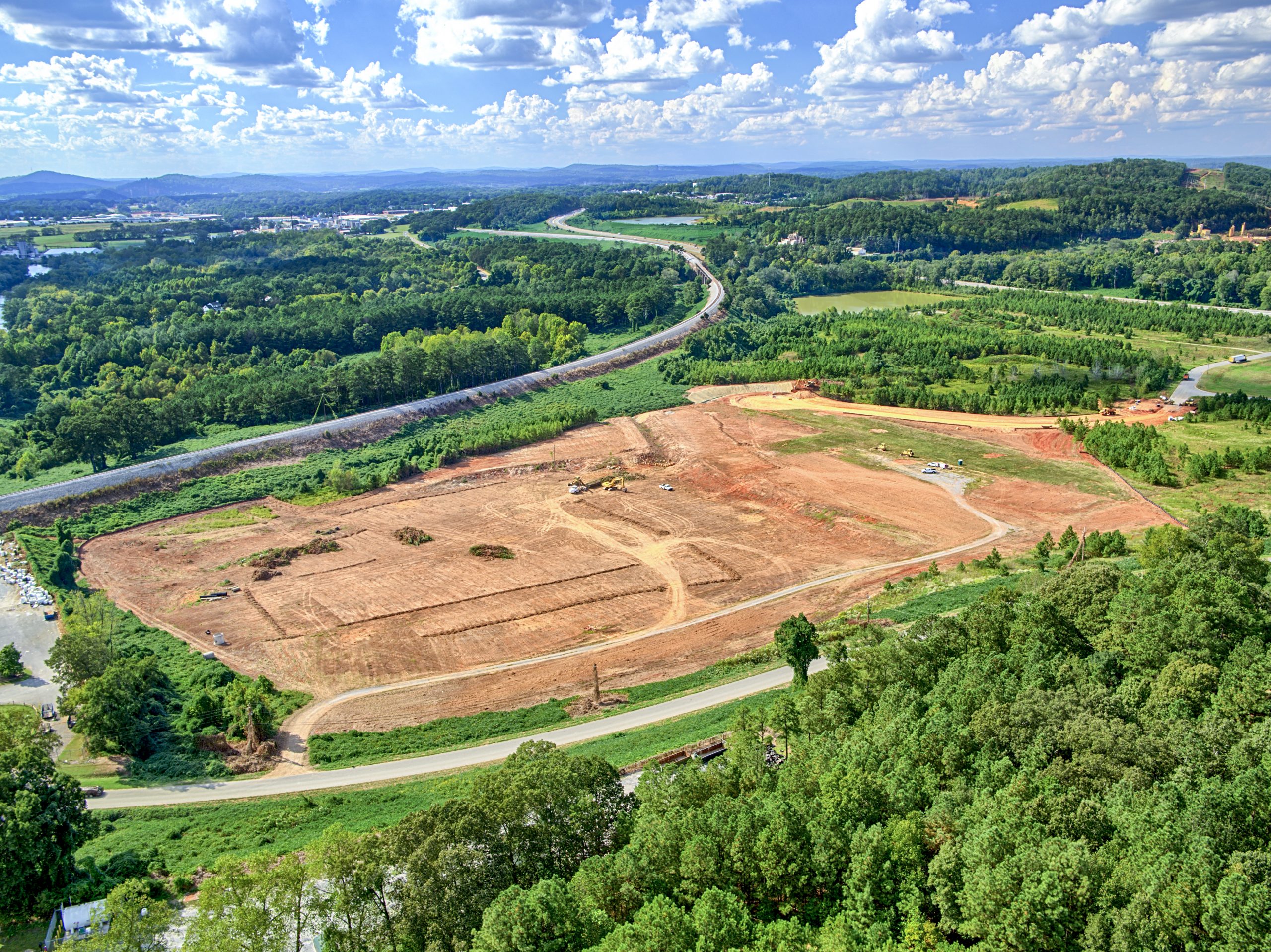
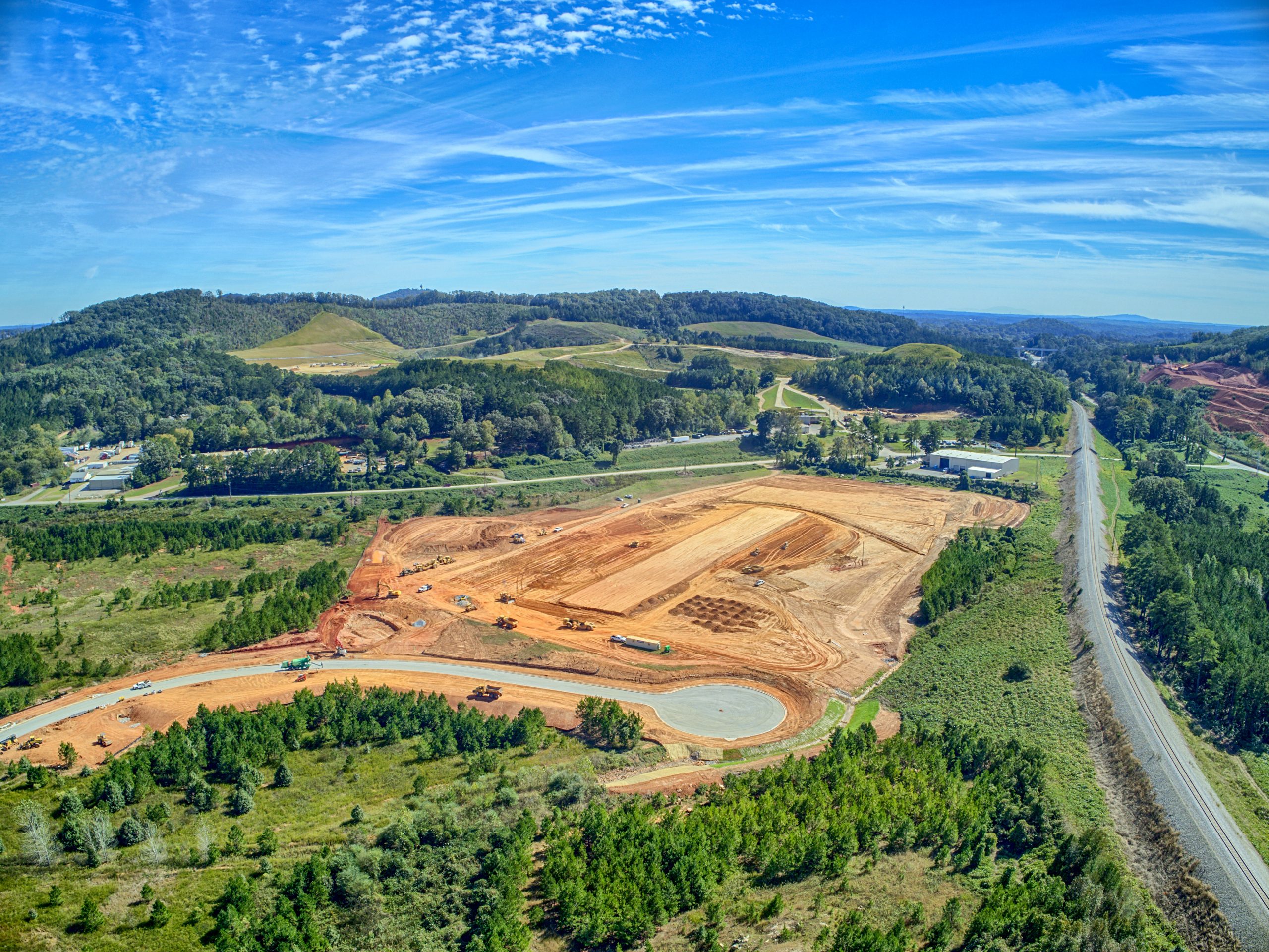
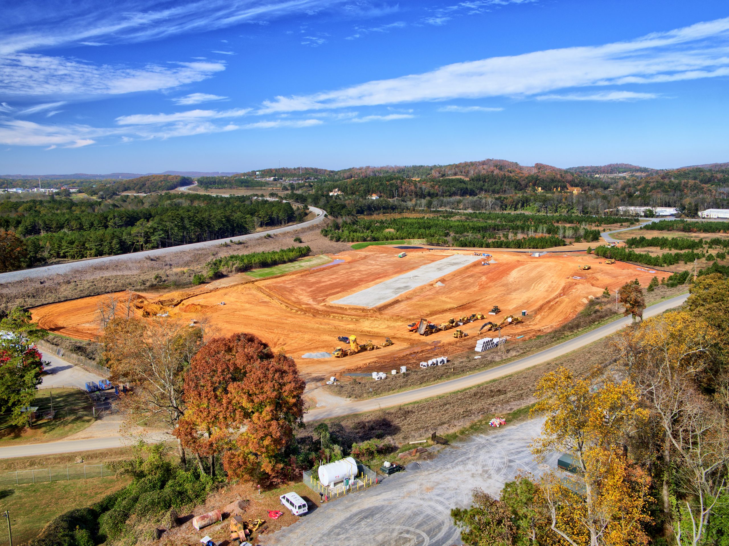
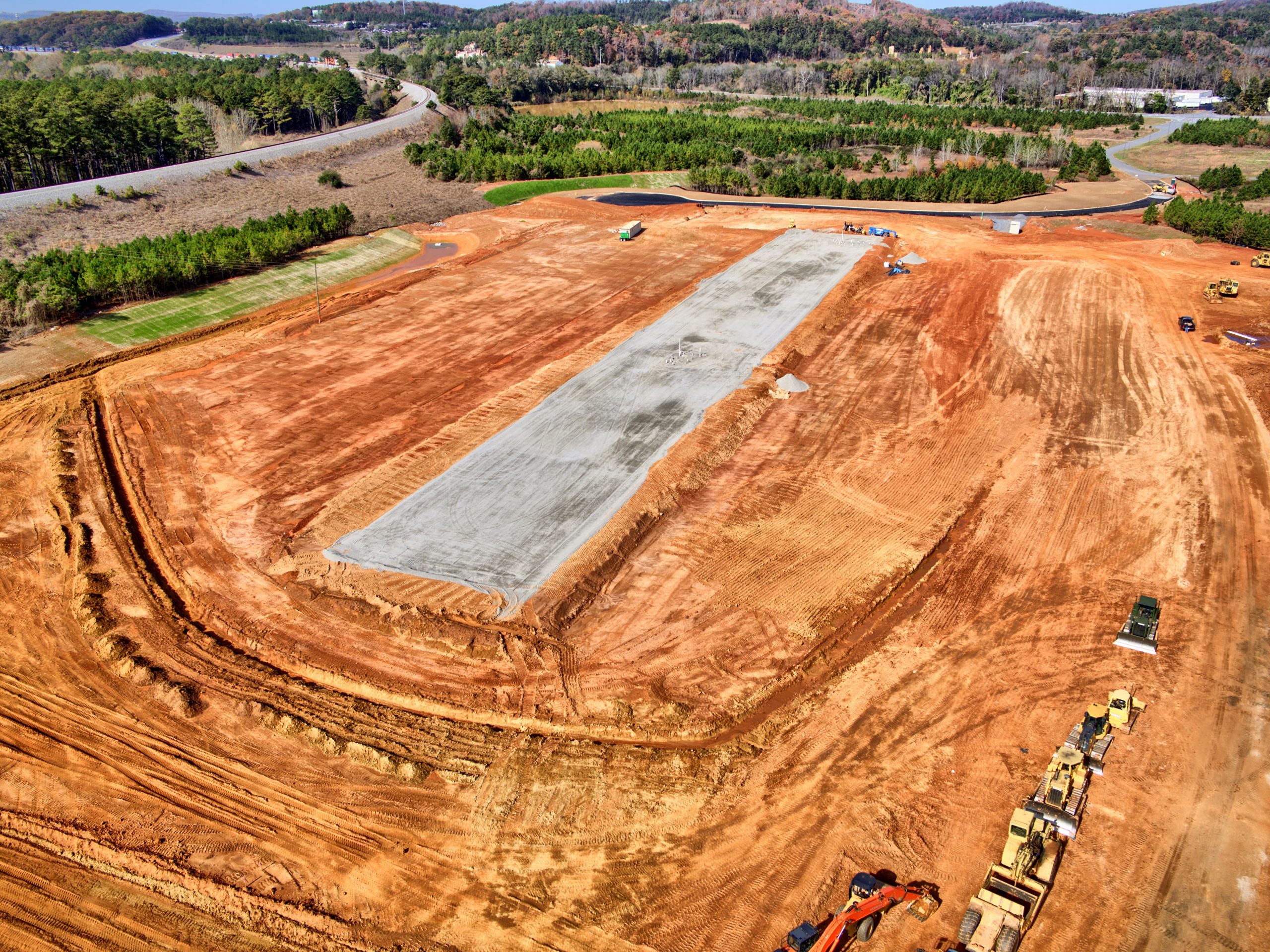
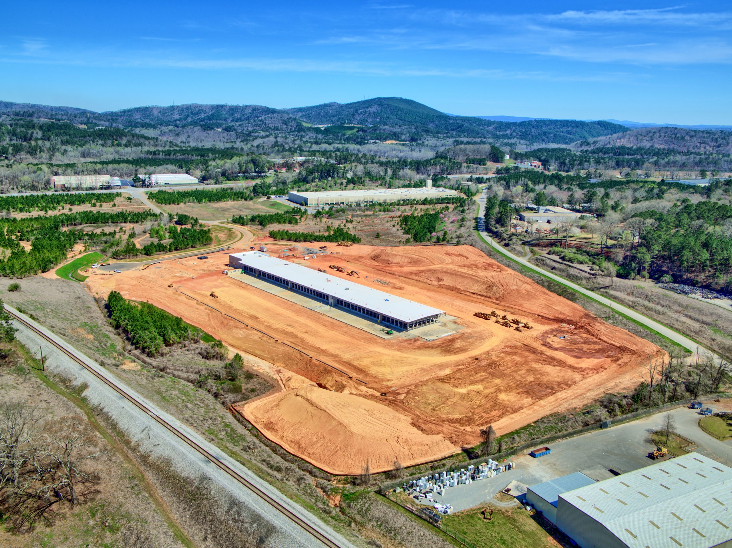
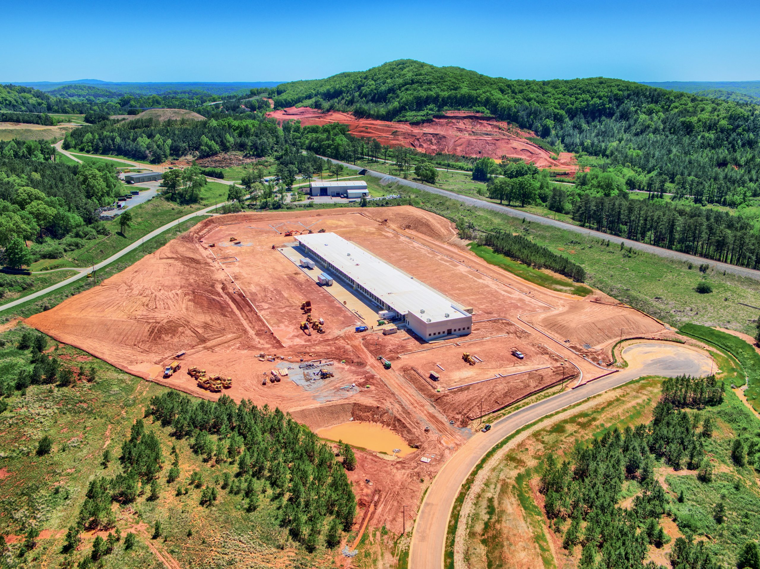
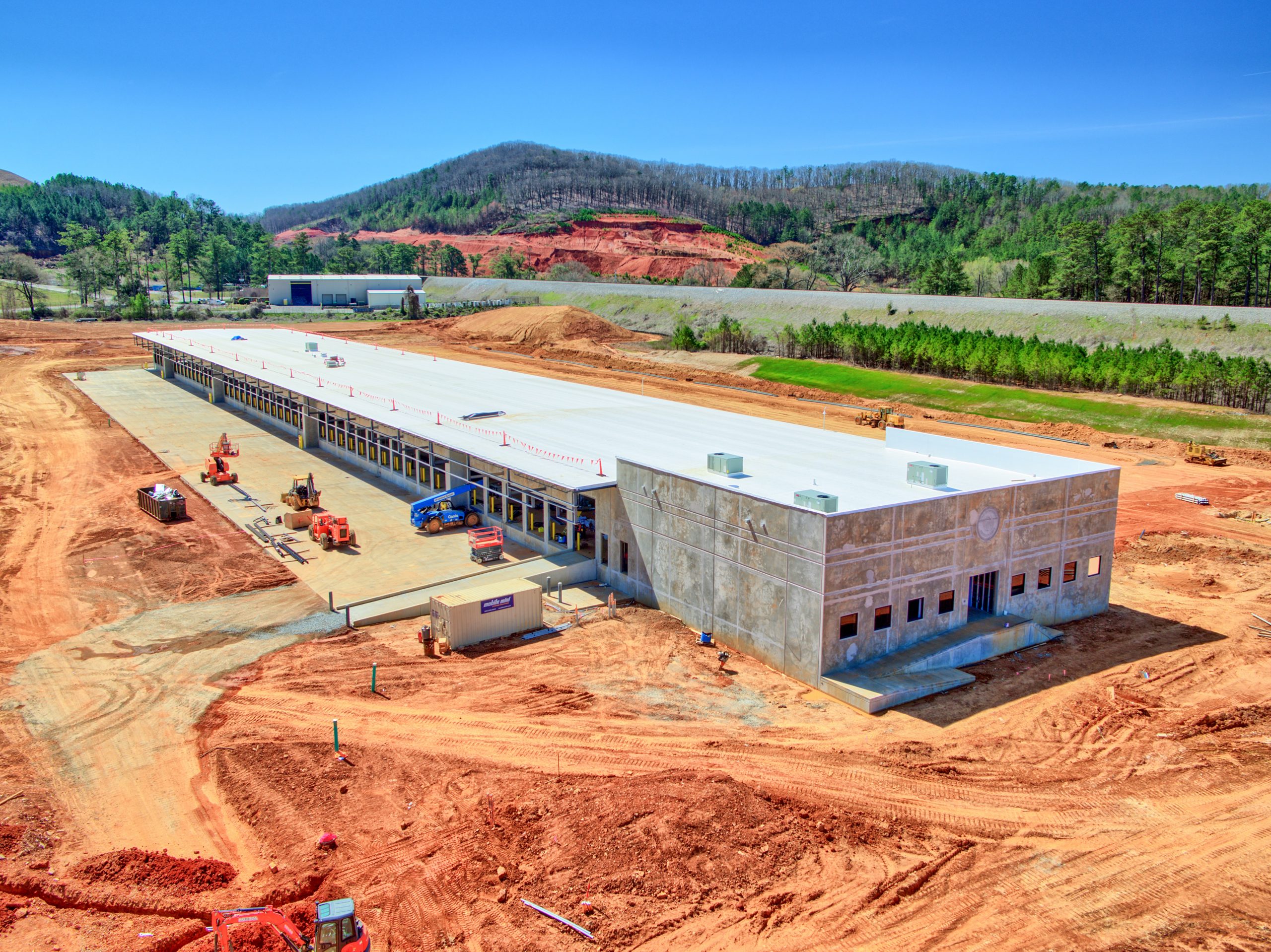
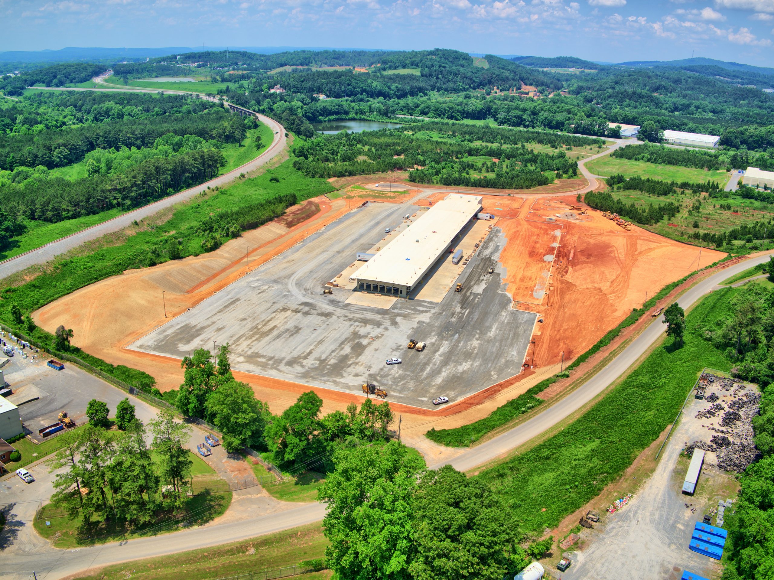
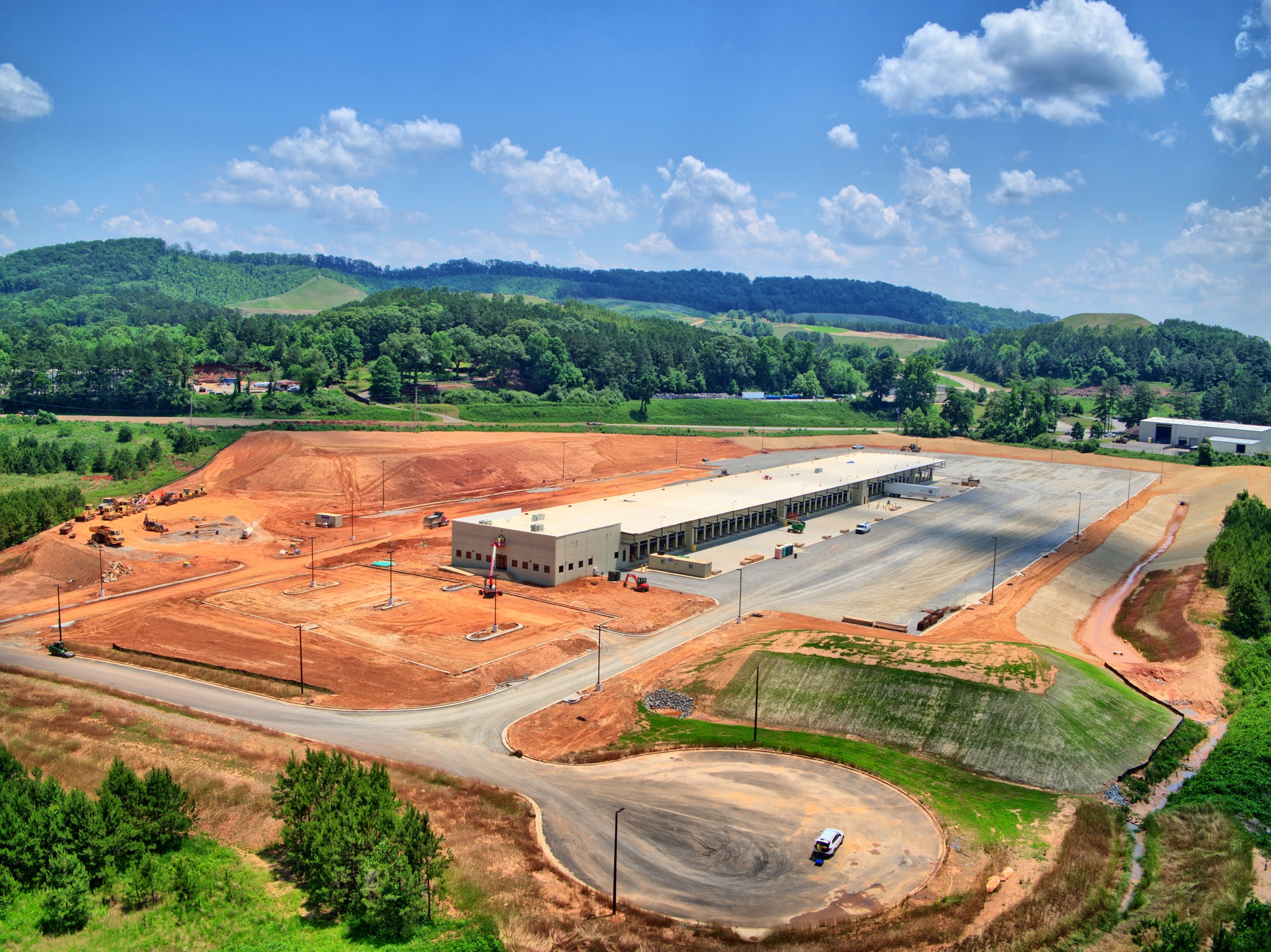
The use of drones has transformed agriculture, providing farmers with cost savings, improved efficiency, and increased profitability. With their ability to rapidly survey large agricultural lands, drones can generate maps of the property, assess crop health, enhance spraying precision, oversee livestock and irrigation systems, and more.
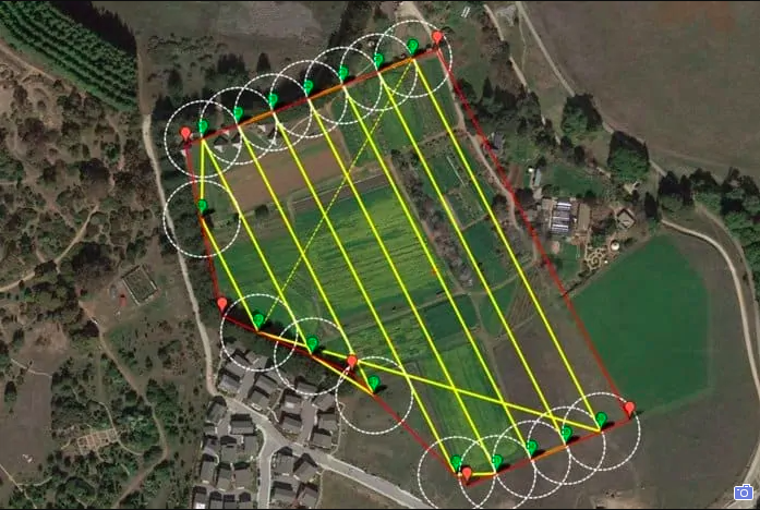
Flight Plans & Results
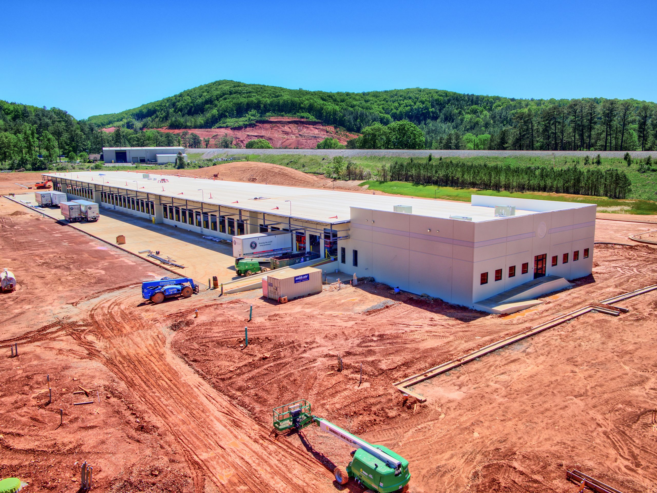
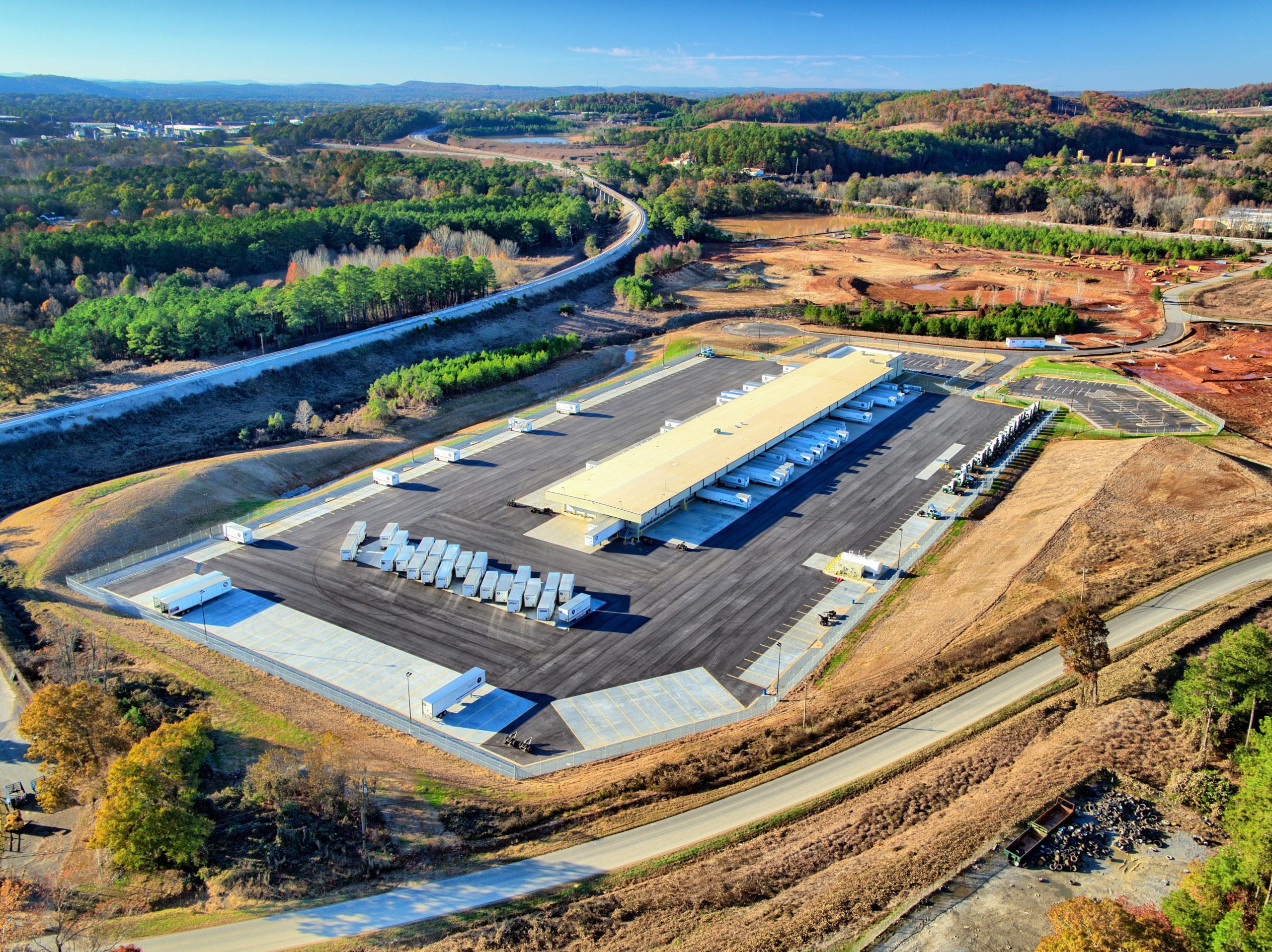
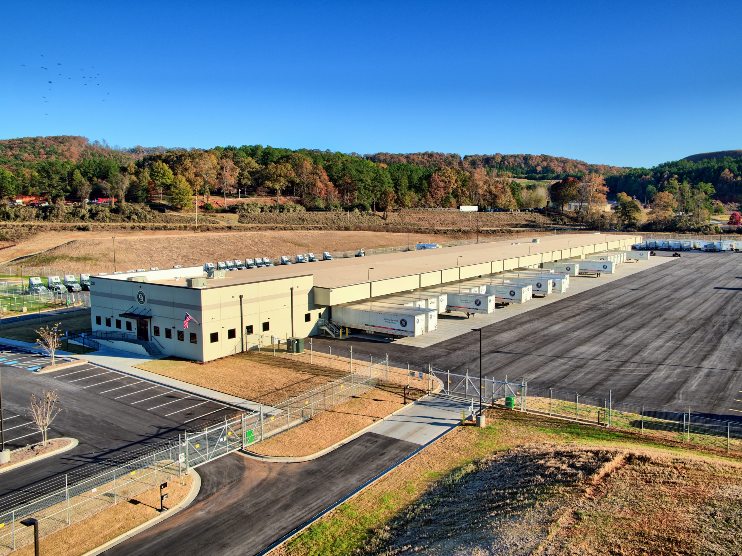
After creating a flight plan and gaining your approval, we will fly the drone at a pre-determined altitude using terrain-detecting sensors to maintain a consistent height above ground level, even over hilly terrain. This ensures a seamless stitching of the high-resolution map. Within minutes of the flight’s completion, you’ll receive a preliminary low-resolution ortho image for prompt assessment, followed by the final high-resolution model within two business days.
This website uses cookies to improve your experience. By using this website you agree to our Data Protection Policy.


![HDR created and tone mapped with easyHDR 3.12.2: [1] DJI_0855.DNG, [2] DJI_0853.DNG, [3] DJI_0852.DNG, [4] DJI_0854.DNG, [5] DJI_0856.DNG](https://dronevisionaerial.com/wp-content/uploads/2021/10/Twilight-2-scaled.jpg)