-
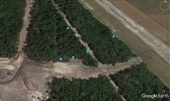
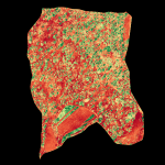
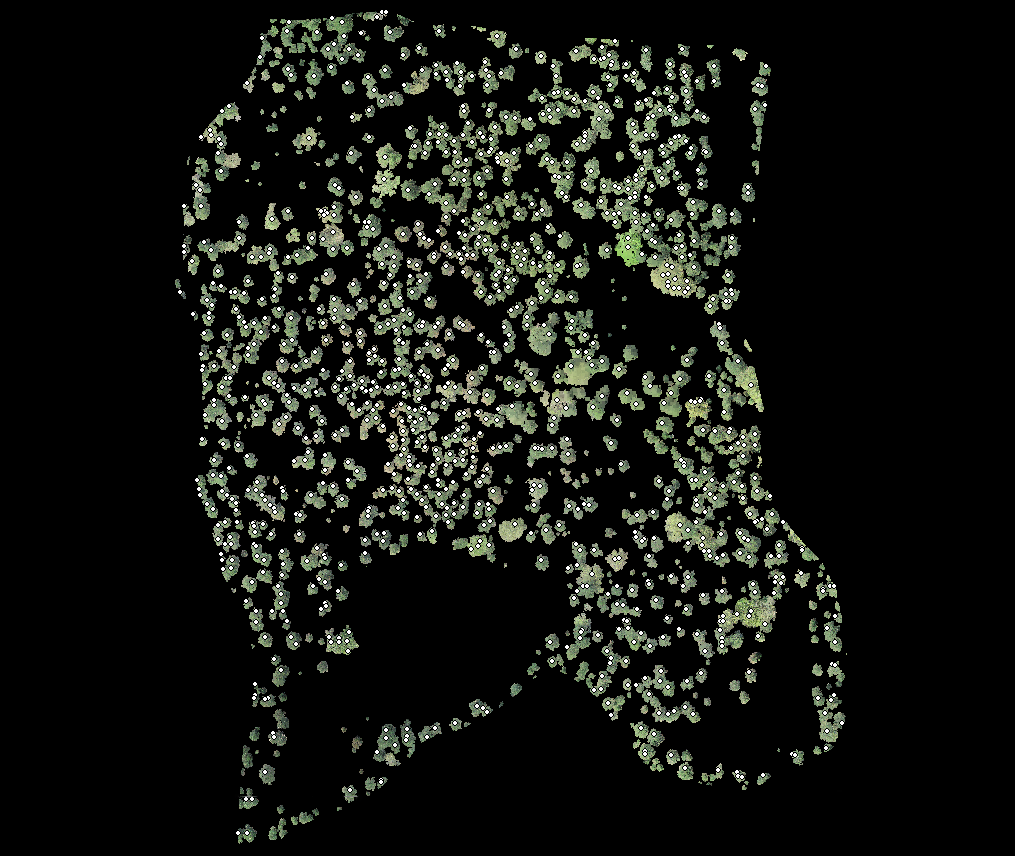
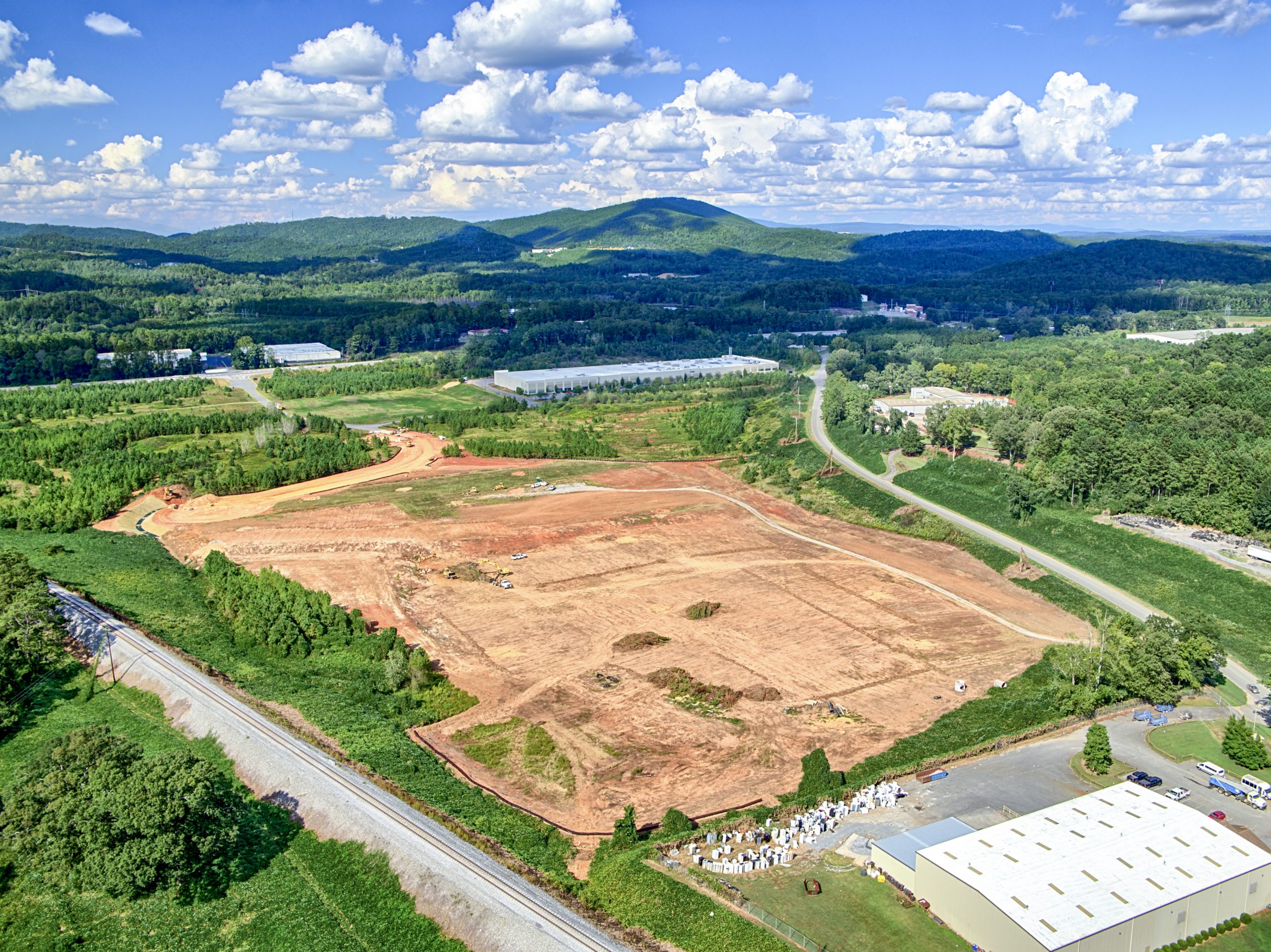
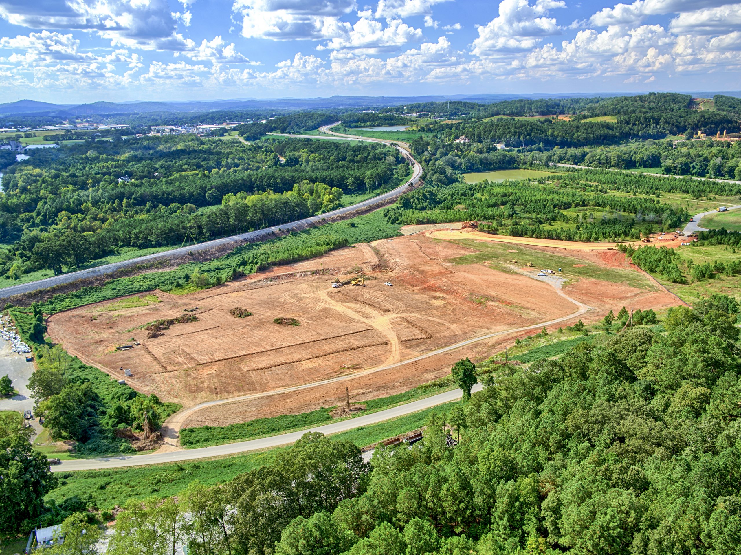
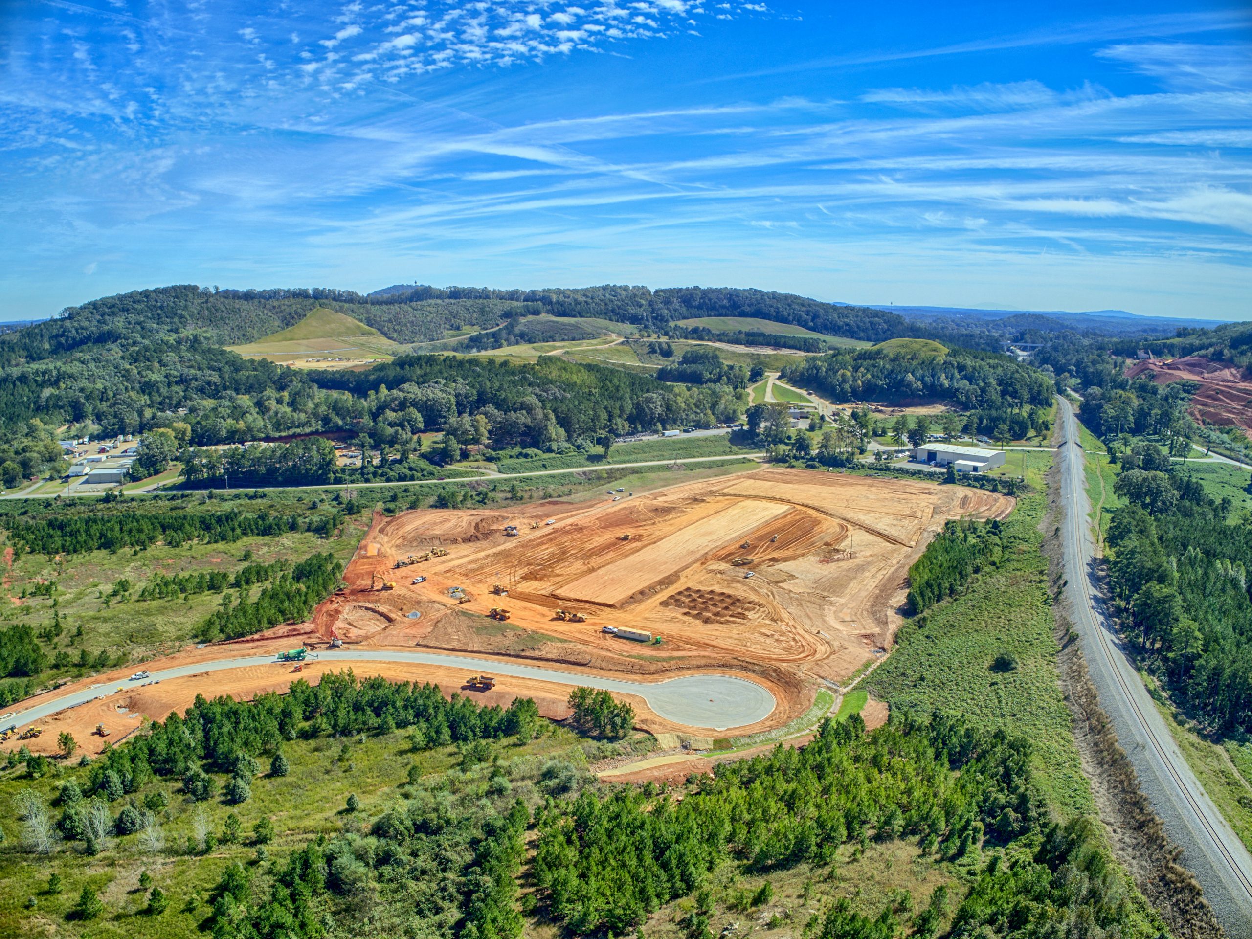
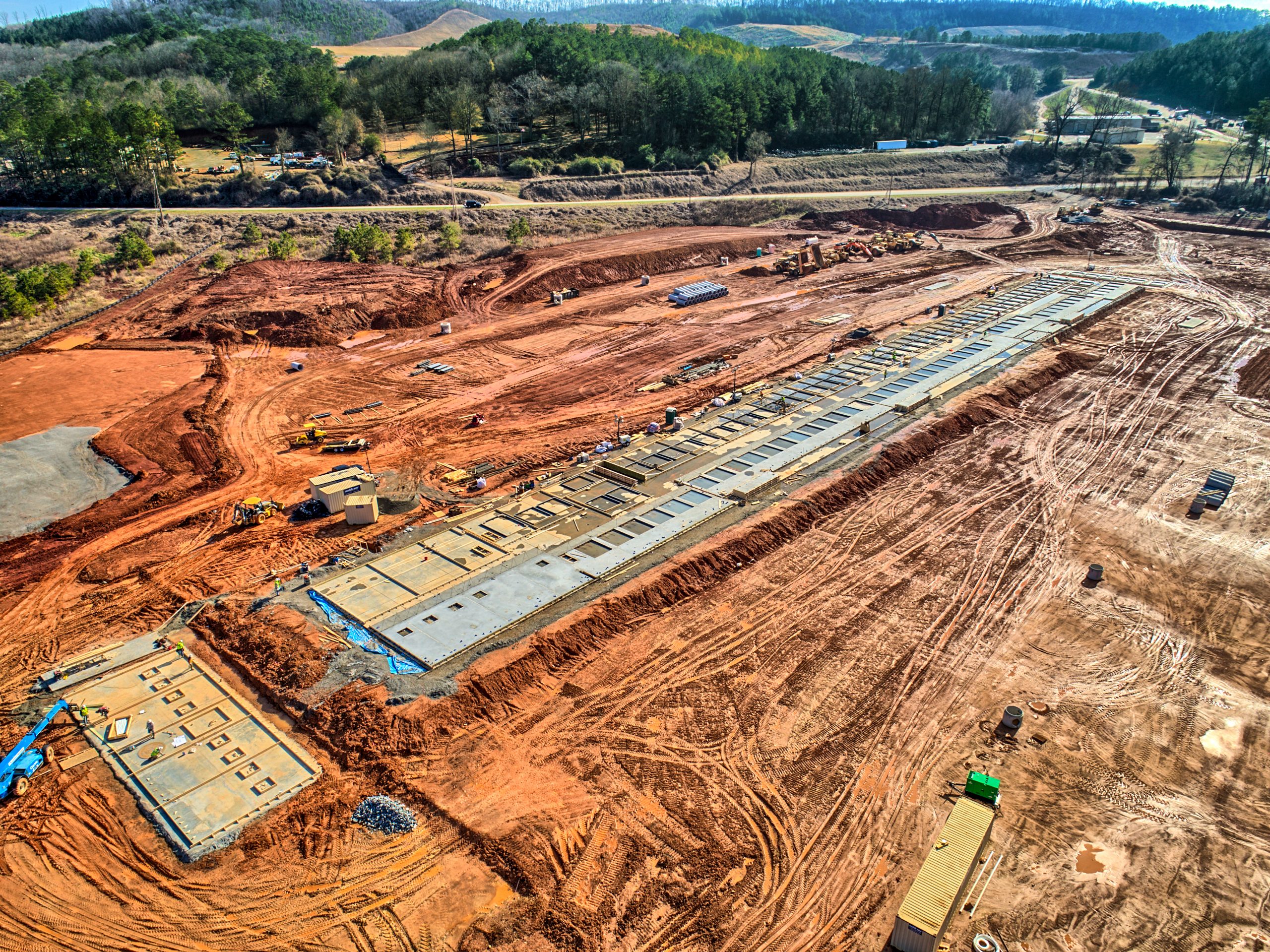
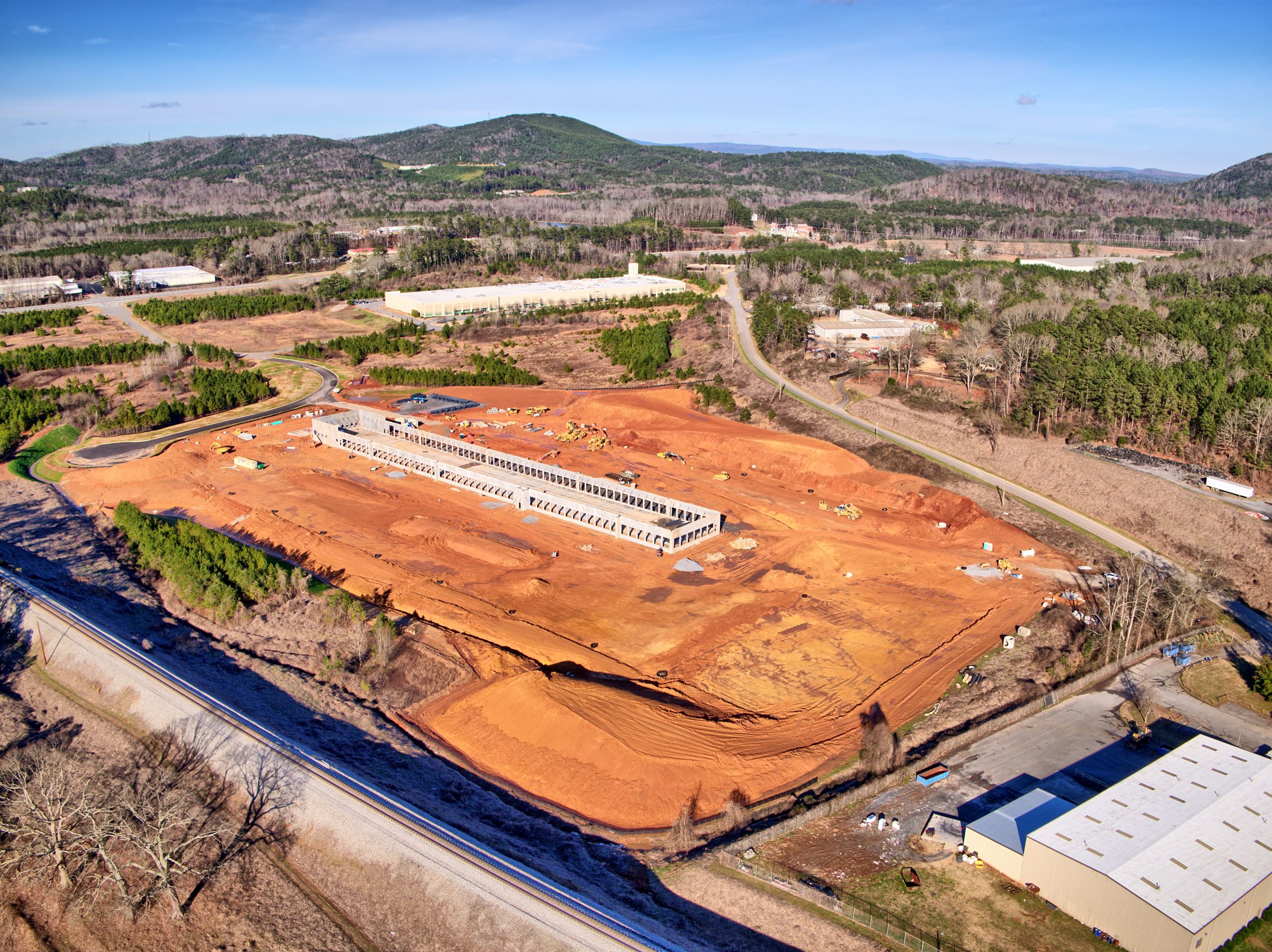
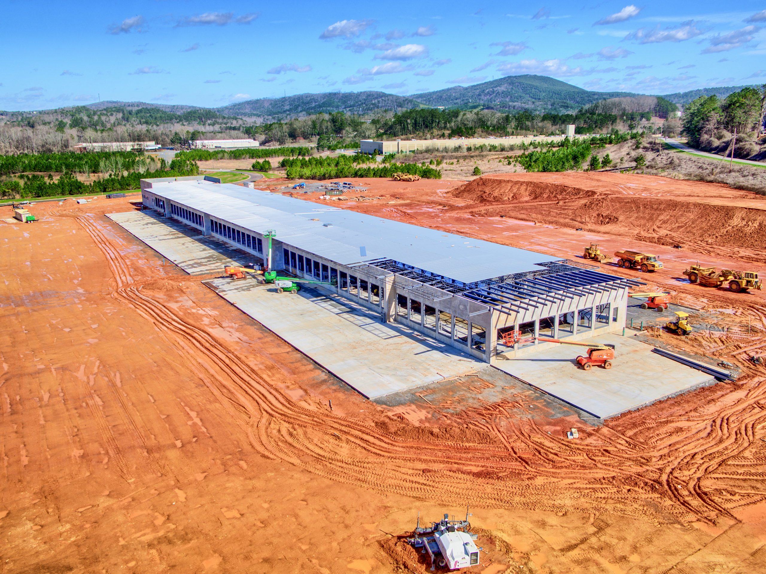
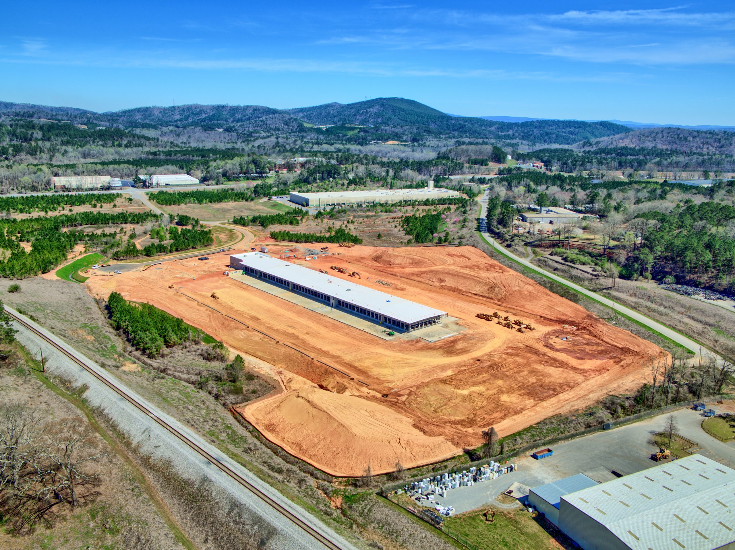
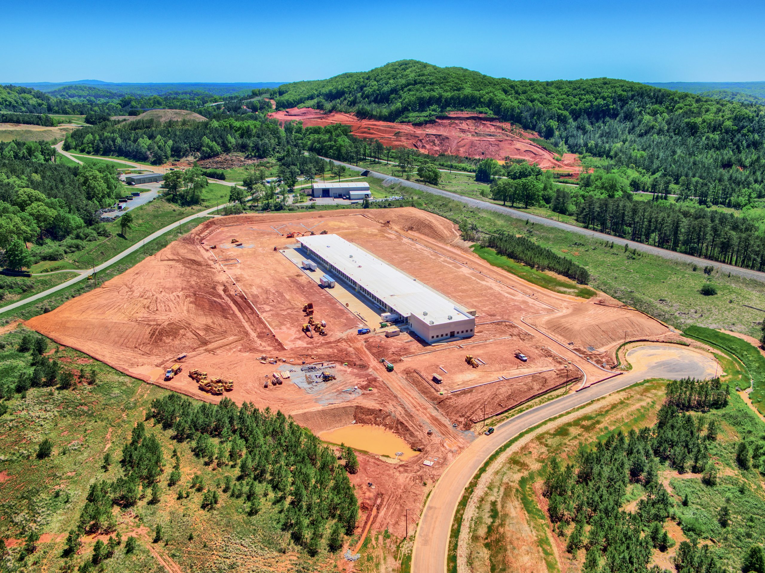
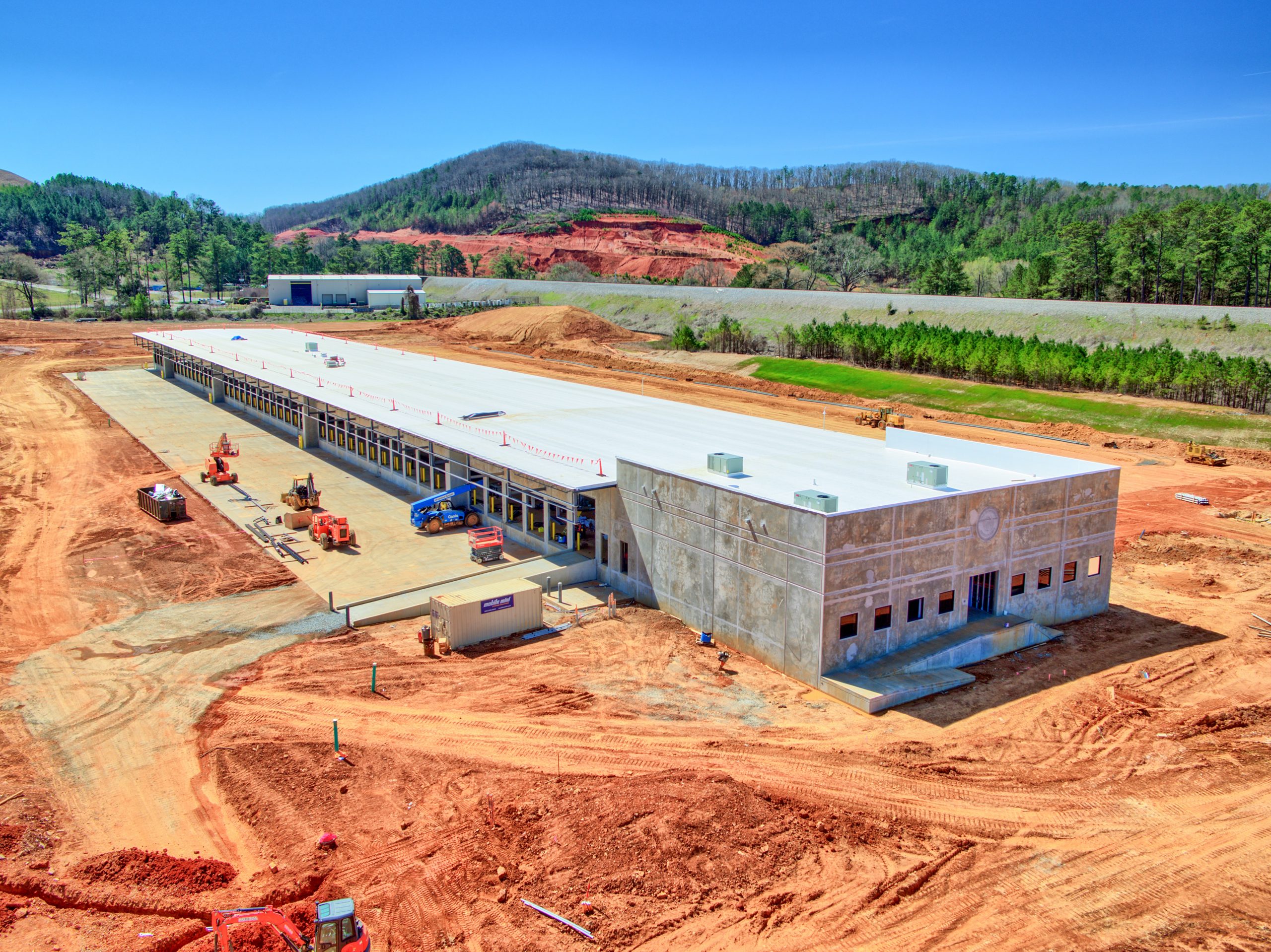
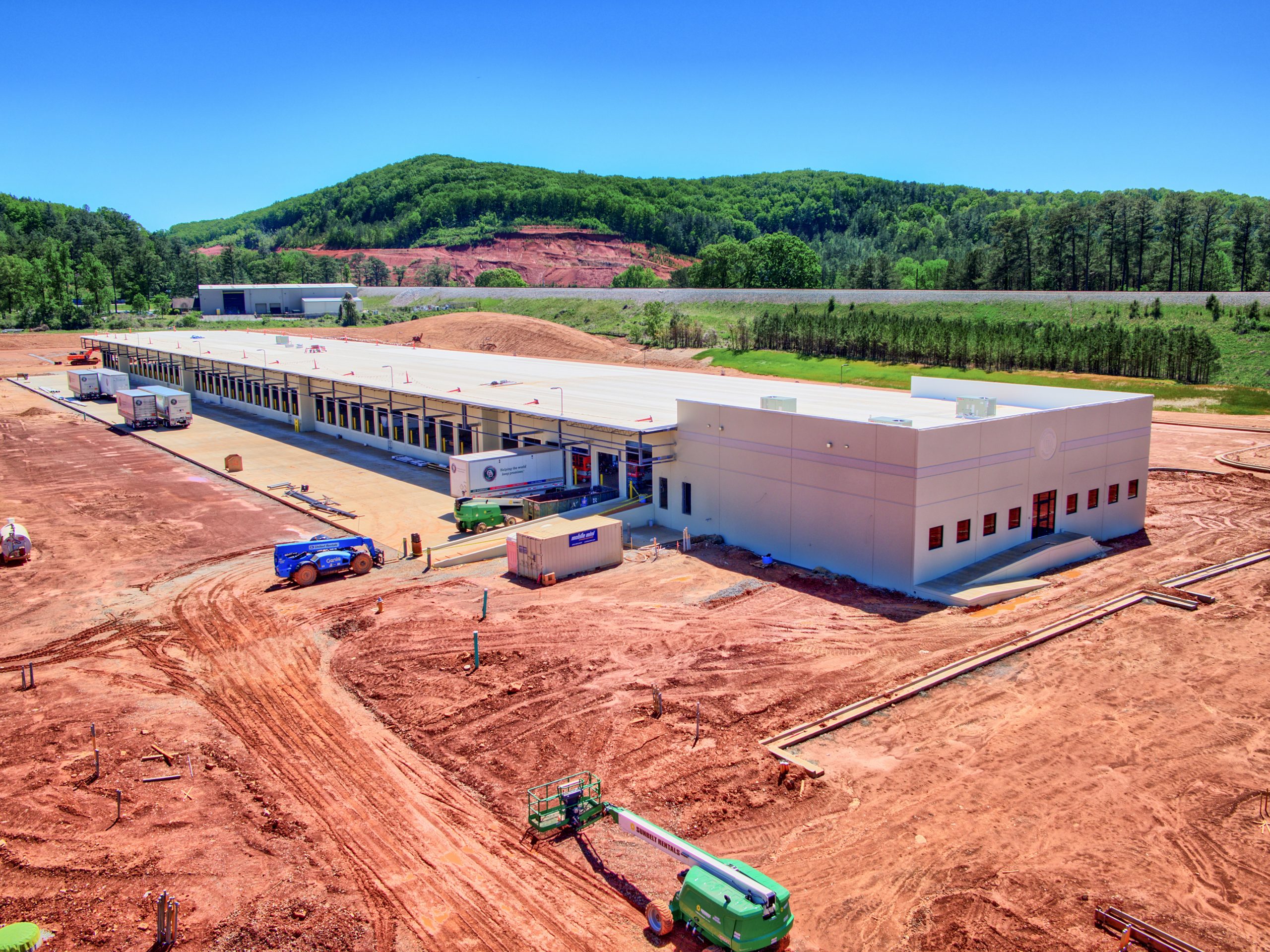
- Before Vegetation Removed
-
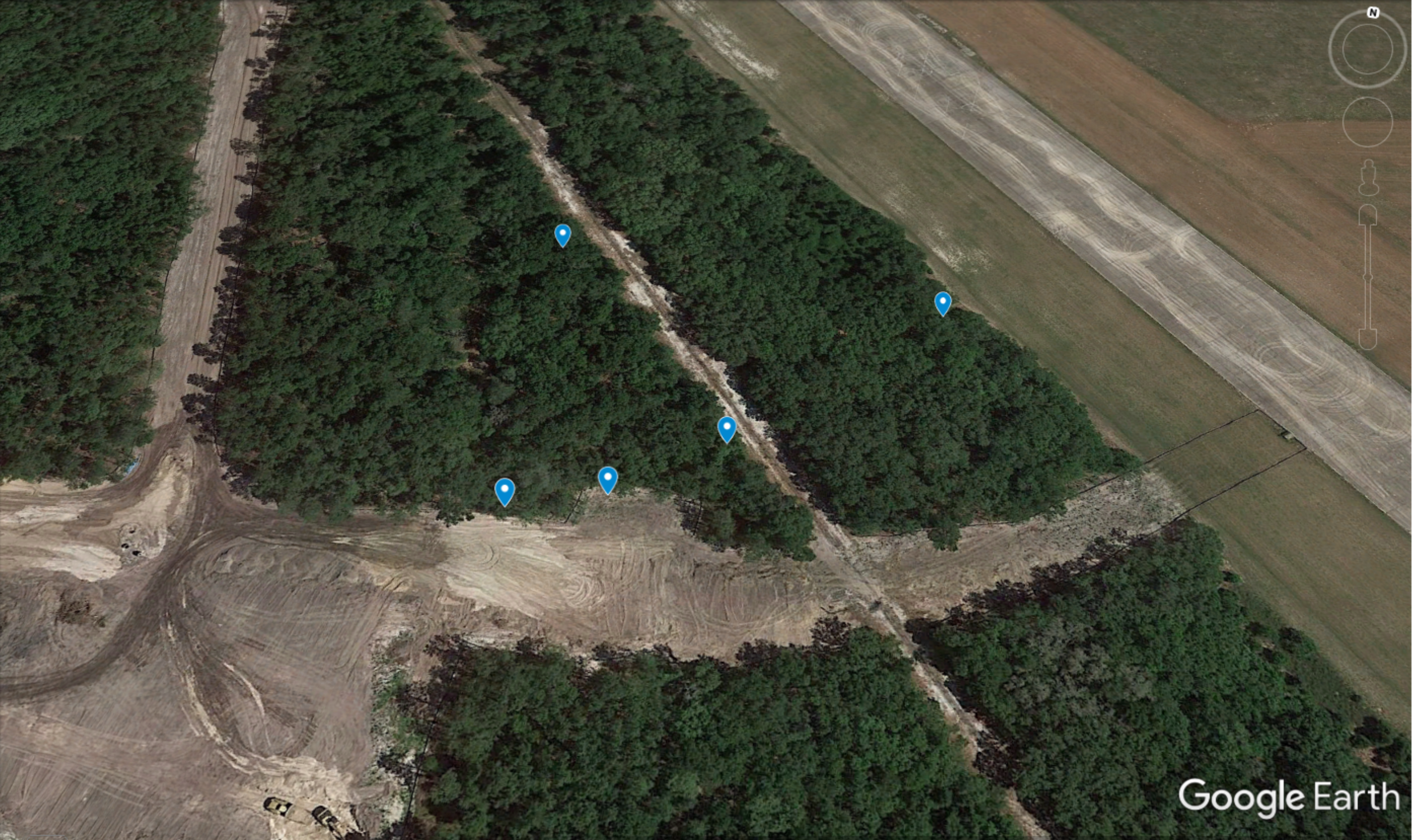
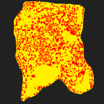
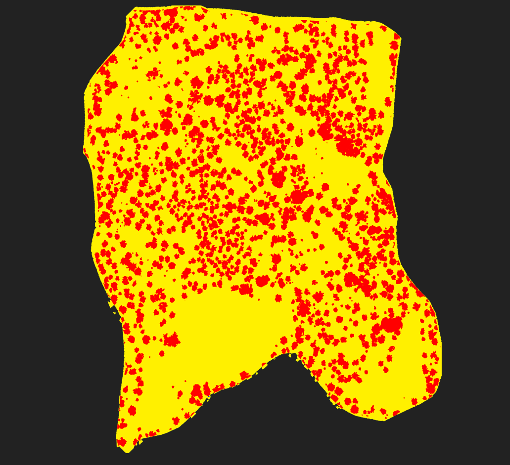
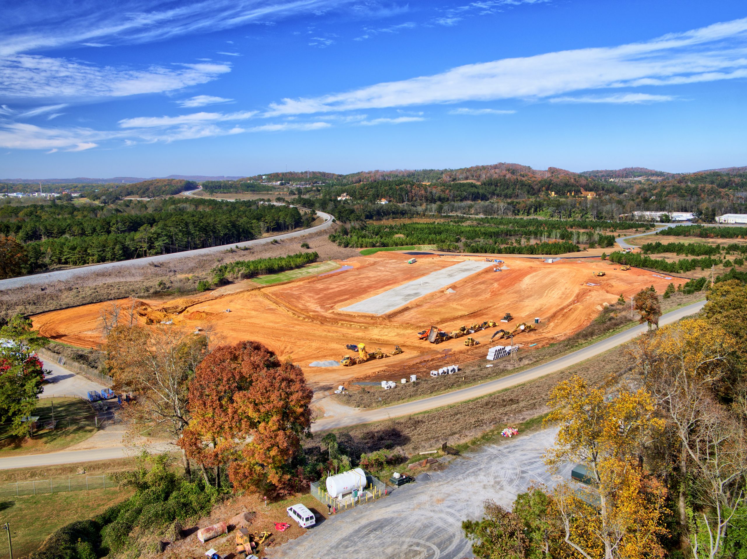
- After Vegetation Removal


-
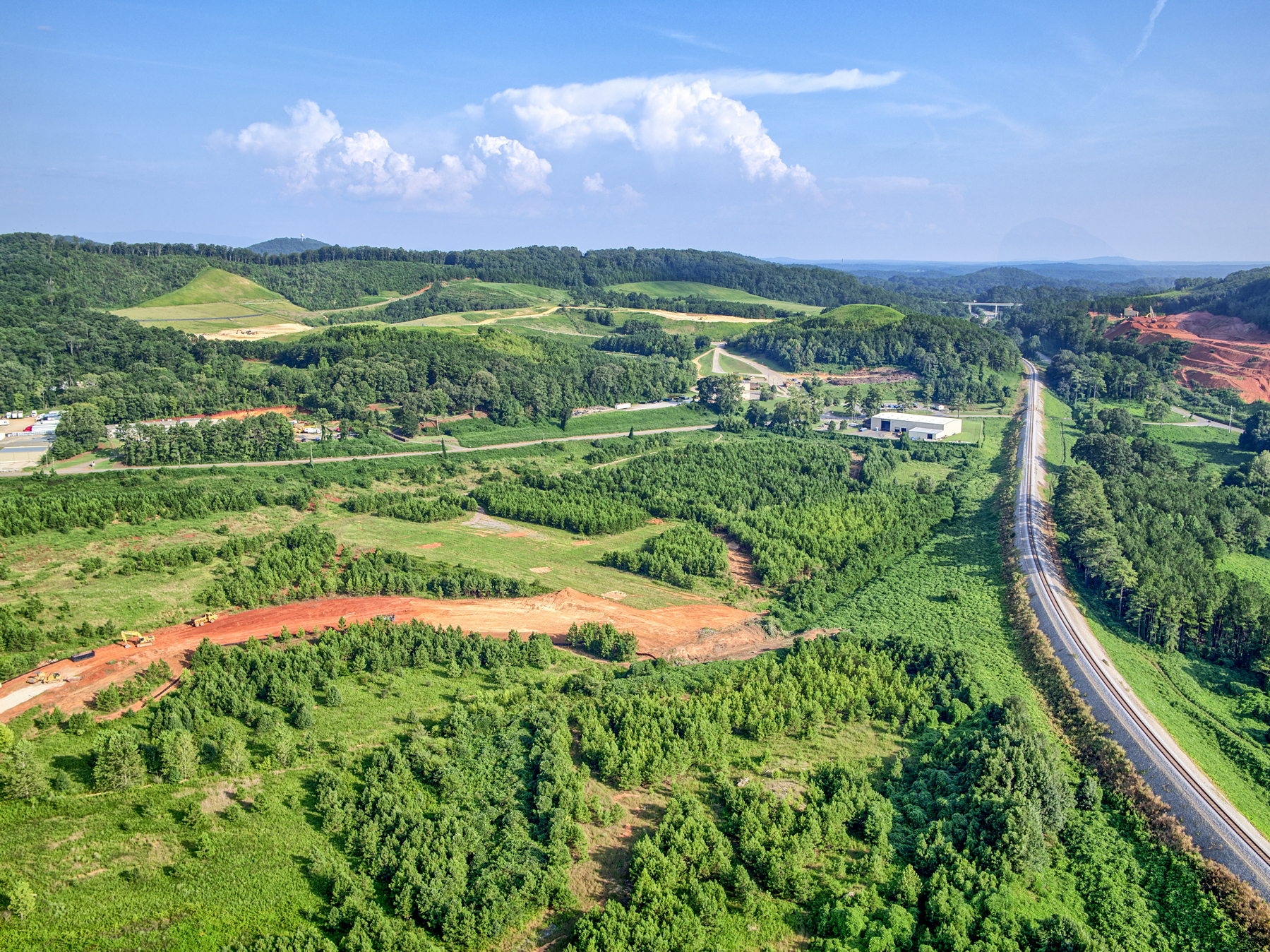
- Heavy vegetation
-
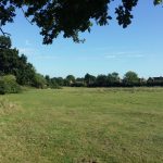
- Fields
-
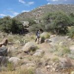
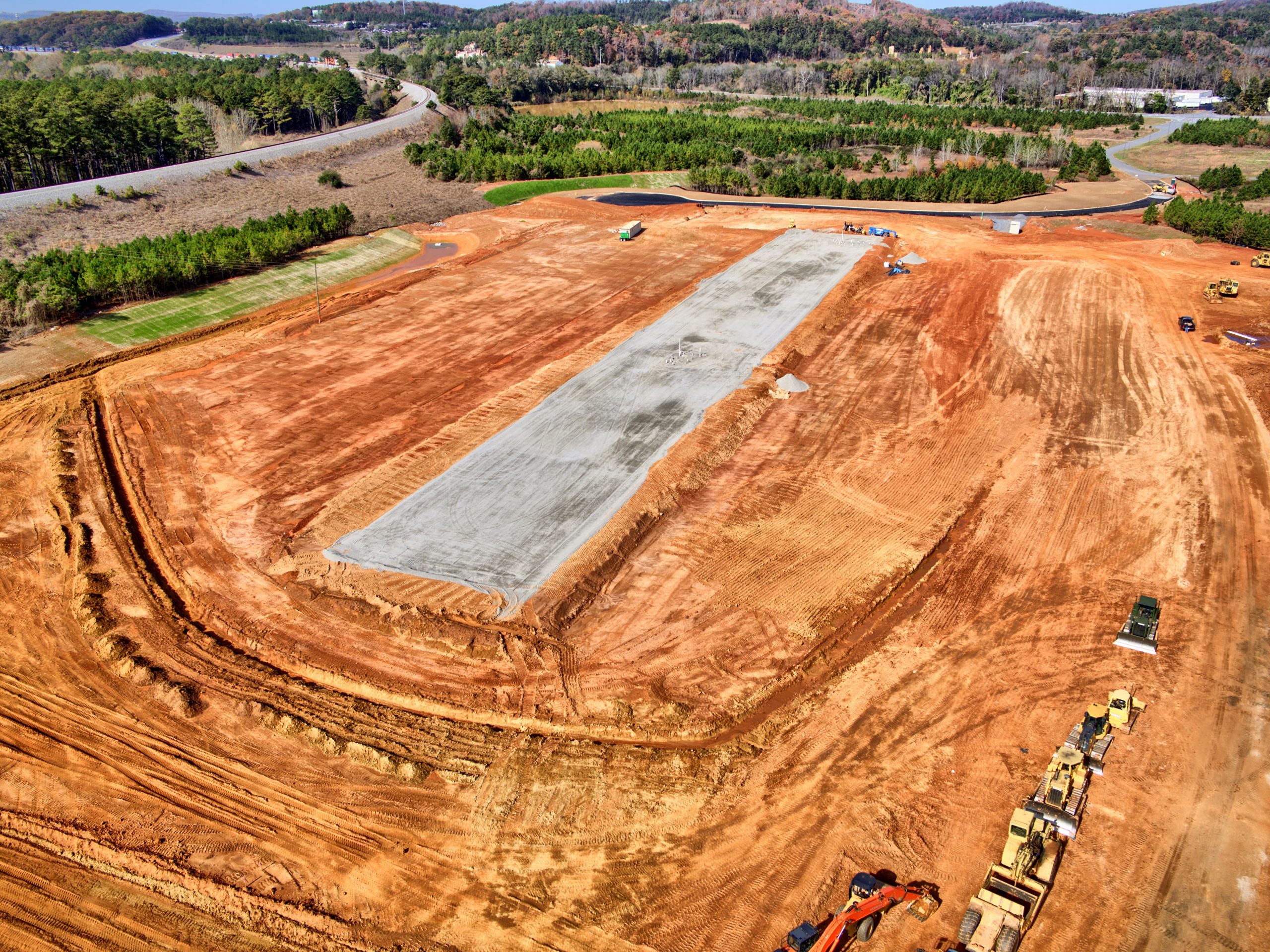
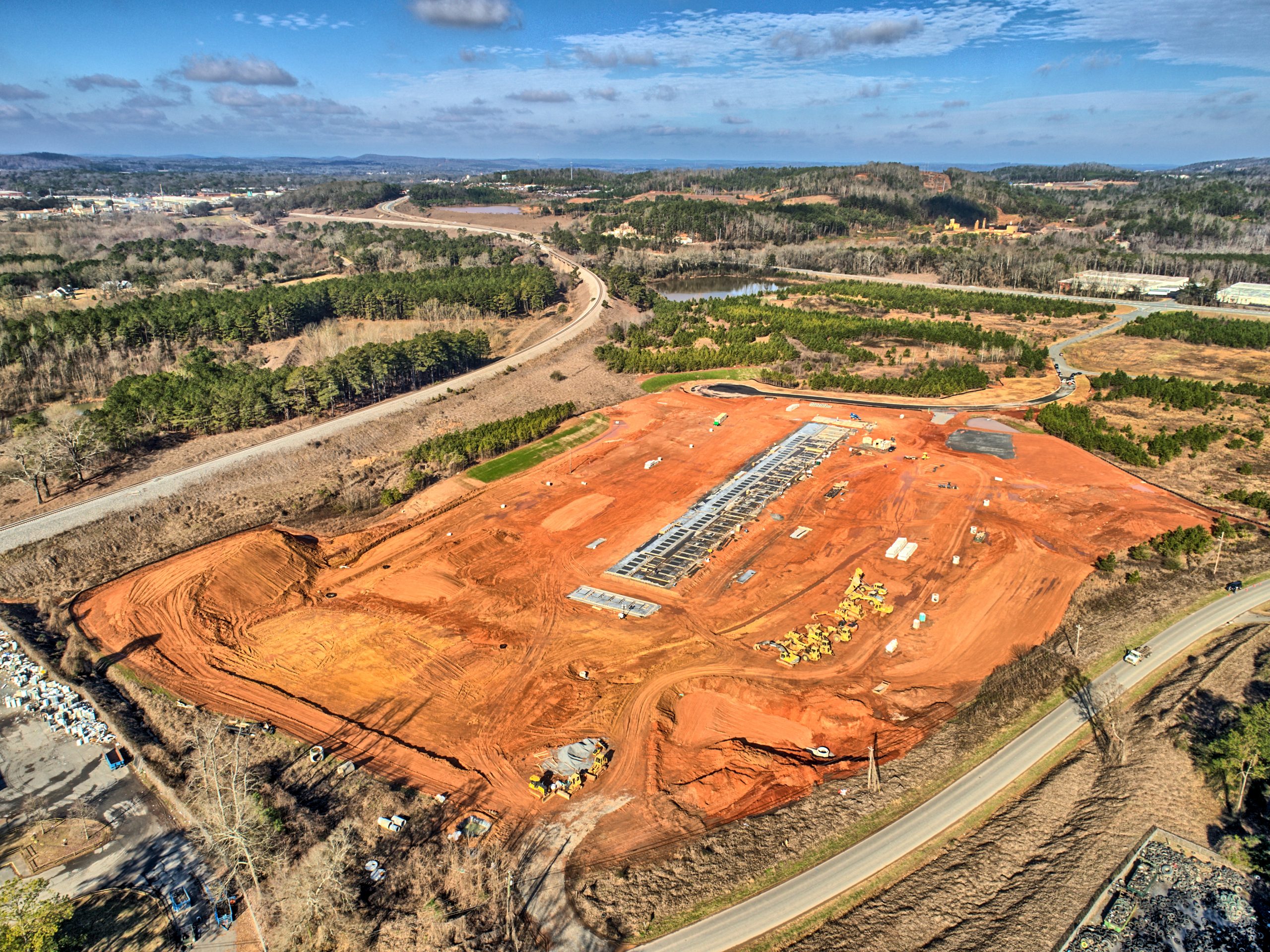
- Rough terrain

-
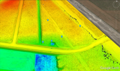
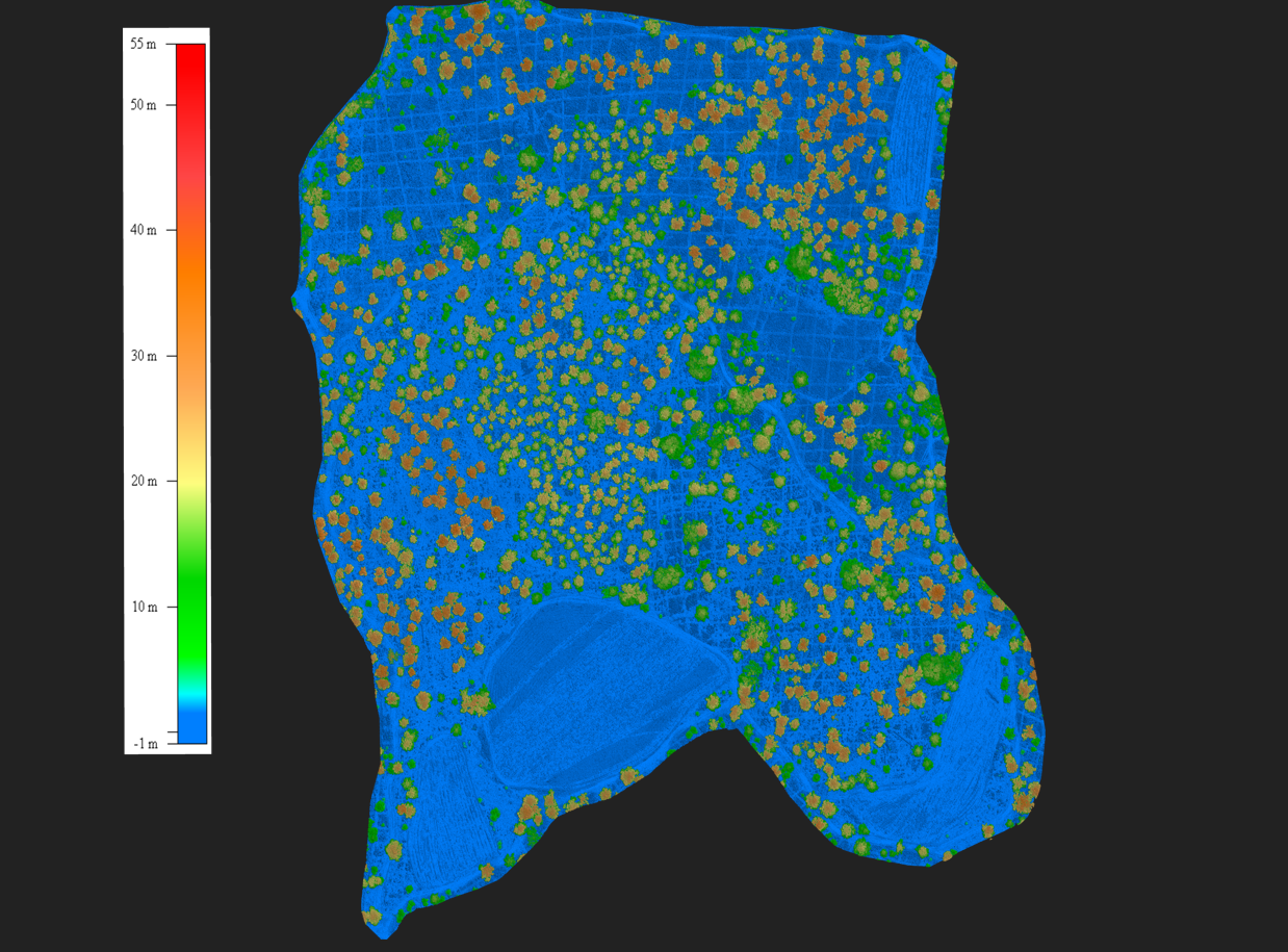
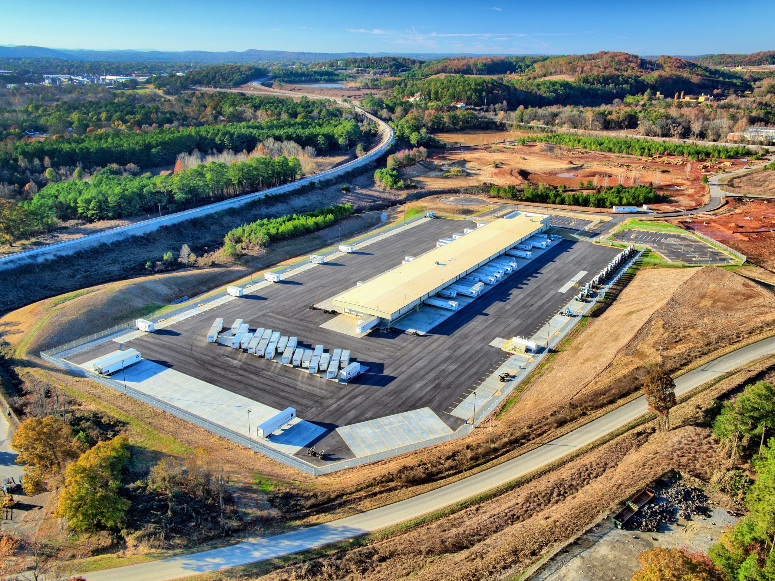
- Tree Height
-
- Plant Health

-
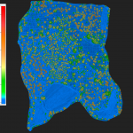
- Vegetation Canopy
-
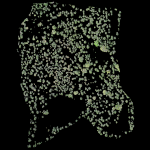
- Tree Count


![HDR created and tone mapped with easyHDR 3.12.2: [1] DJI_0855.DNG, [2] DJI_0853.DNG, [3] DJI_0852.DNG, [4] DJI_0854.DNG, [5] DJI_0856.DNG](https://dronevisionaerial.com/wp-content/uploads/2021/10/Twilight-2-scaled.jpg)