Power lines, Transmission towers, Substations and component inspections
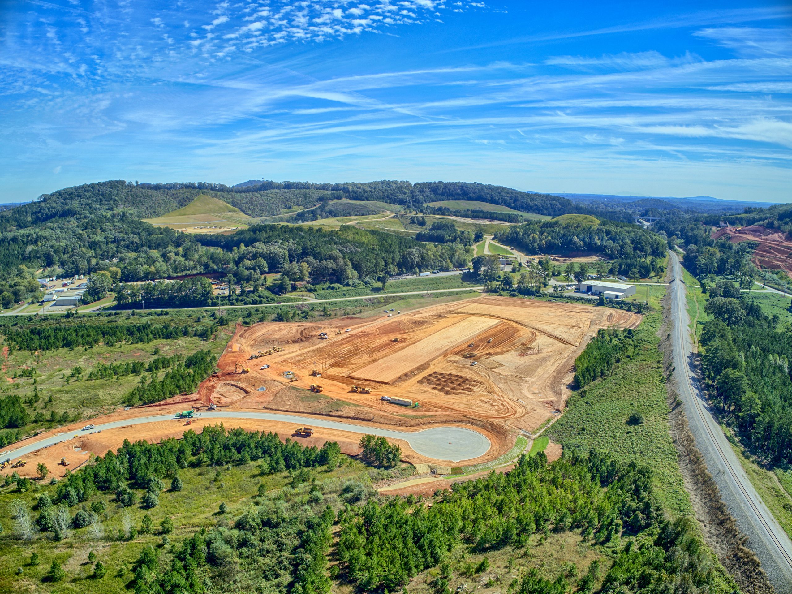
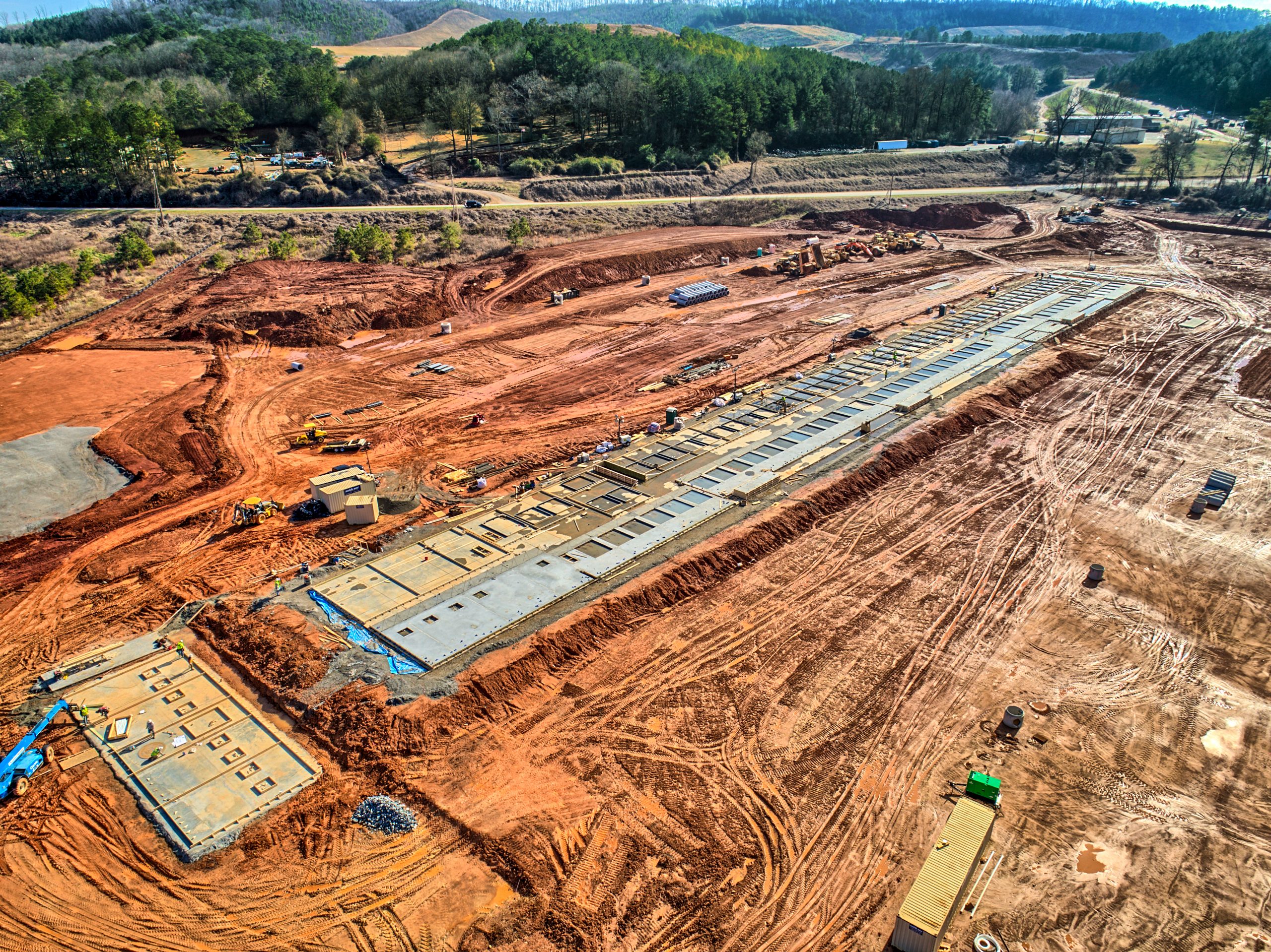
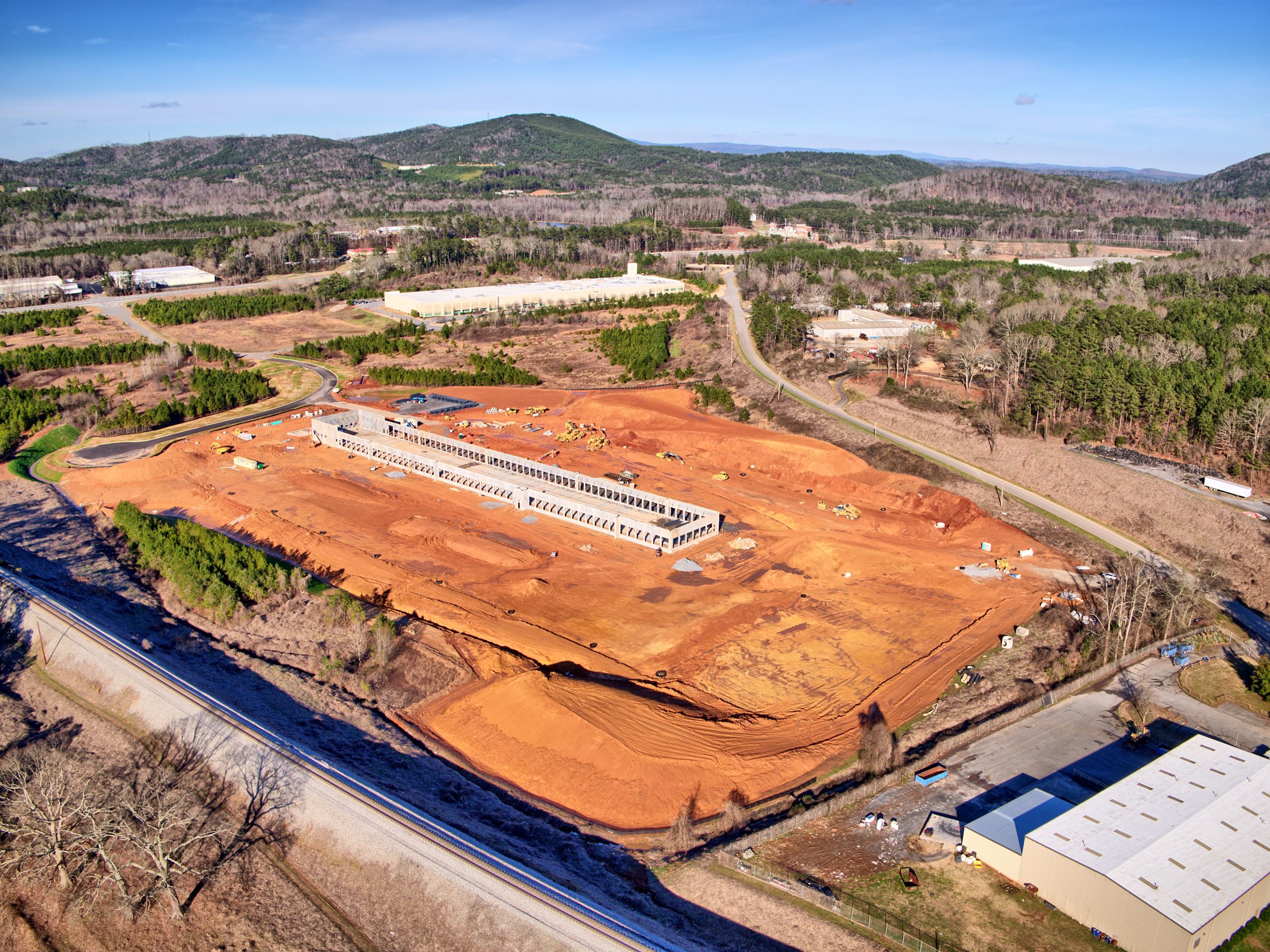
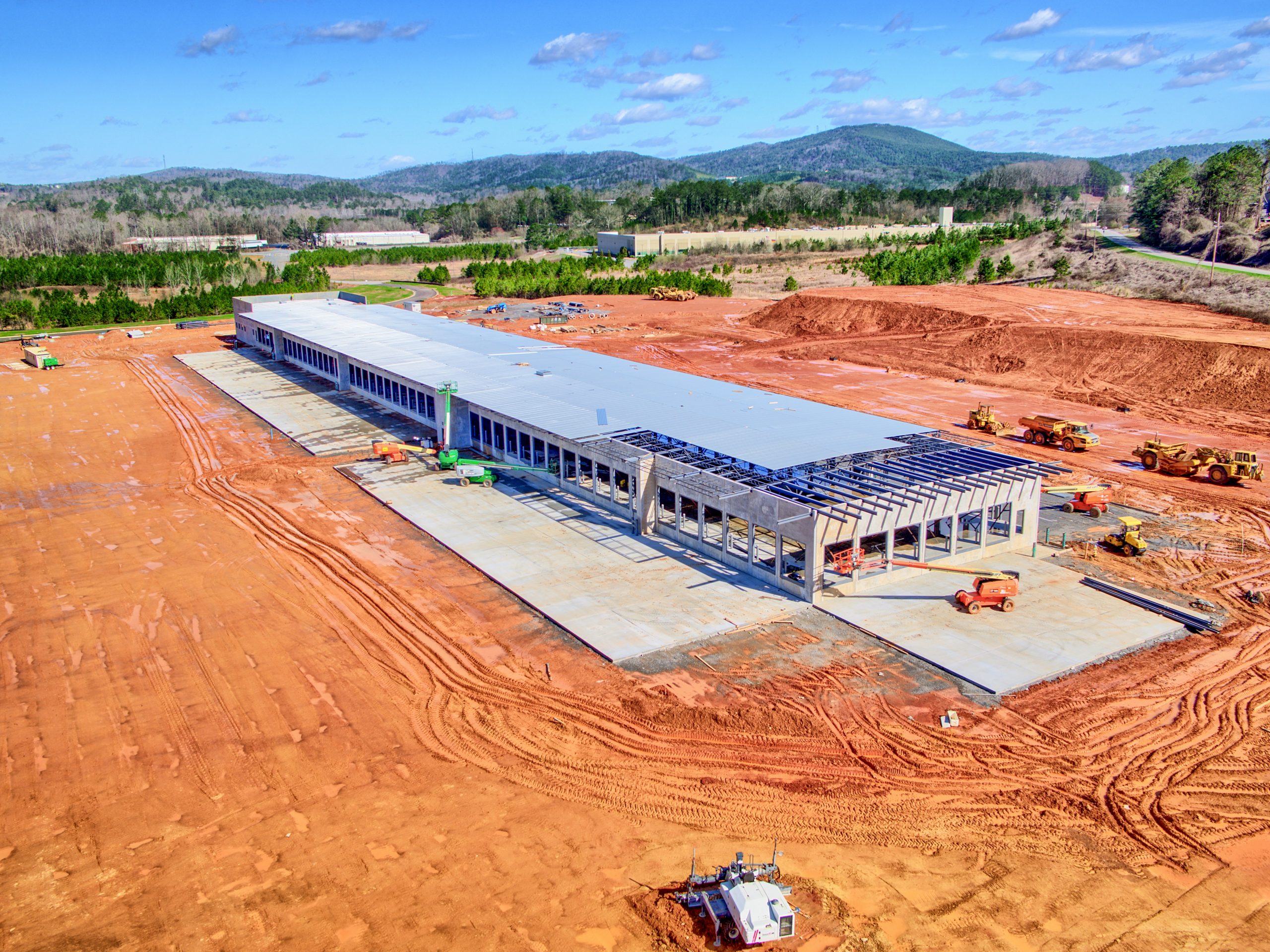
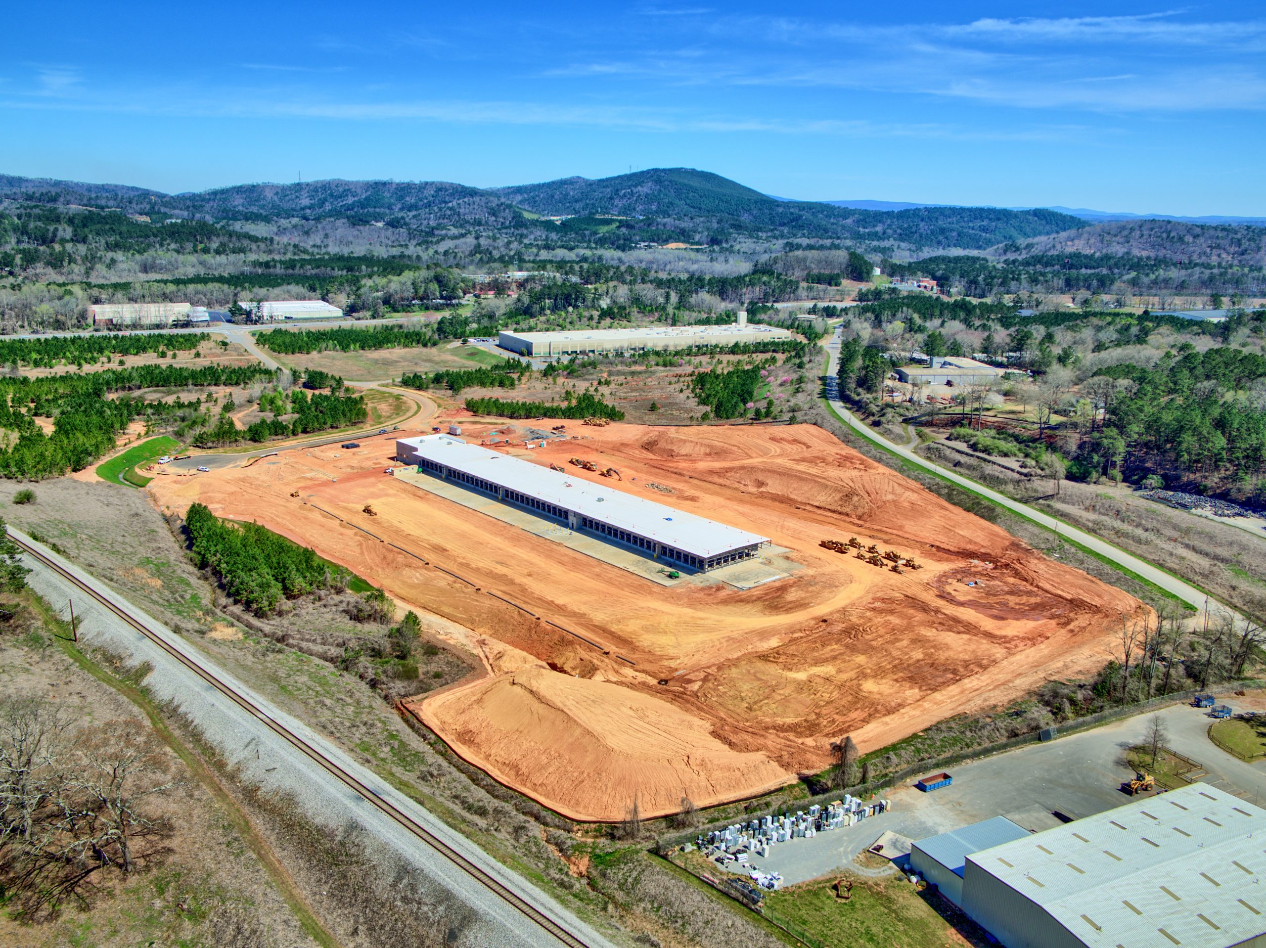
The use of drones for inspecting power lines and utility structures is gaining popularity due to its efficiency, cost-effectiveness, and safety advantages. Traditional inspection methods that rely on manual visual inspections are time-consuming and carry the risk of human error. With drone technology, aerial photos and 3D models can be easily generated and viewed on a computer, providing a comprehensive and accurate assessment of the infrastructure. This reduces the need for repeated site visits, saves time and costs, and eliminates the dangers associated with manual inspections, especially in challenging terrain.
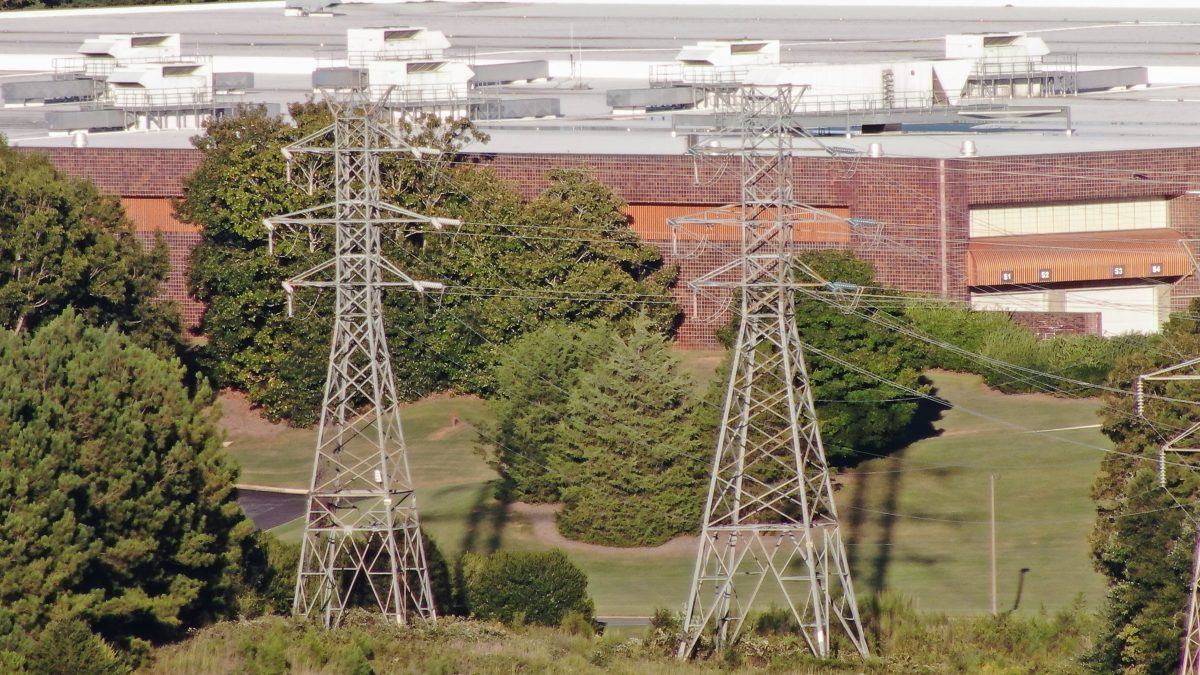
Photo Quality
The quality of an inspection is determined by the final product produced. With the high levels of RF emitted by some power lines, it is crucial to have a high definition camera sensor with a high zoom level. Flying a standard drone too close to the power lines can result in loss of GPS positioning and make the drone unpredictable, leading to dangerous accidents. To overcome this, we use a 200X zoom camera that enables us to capture high-quality images from a safe distance. With its exceptional detail, we can even read serial numbers from up to 1000 ft away.
LiDAR Scans
With the use of a LiDAR sensor, our drones can easily detect and assess the status of power lines and transmission towers even in disaster-stricken areas. The LiDAR sensor emits laser beams and measures the reflectivity of the return, allowing us to quickly see and report any damage or potential hazards in real-time. We have the capability to remotely share our screen with you, providing a live view of our findings through a 4G connection. This technology streamlines the inspection process and ensures the accuracy of our data.
This website uses cookies to improve your experience. By using this website you agree to our Data Protection Policy.


![HDR created and tone mapped with easyHDR 3.12.2: [1] DJI_0855.DNG, [2] DJI_0853.DNG, [3] DJI_0852.DNG, [4] DJI_0854.DNG, [5] DJI_0856.DNG](https://dronevisionaerial.com/wp-content/uploads/2021/10/Twilight-2-scaled.jpg)