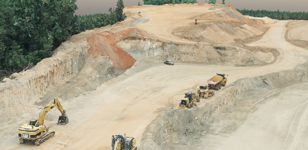
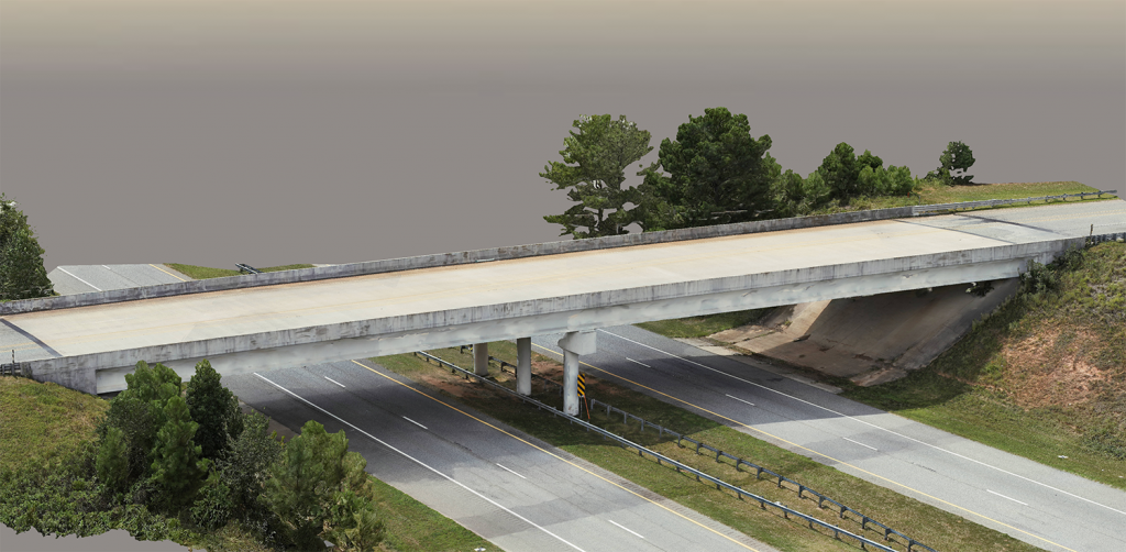
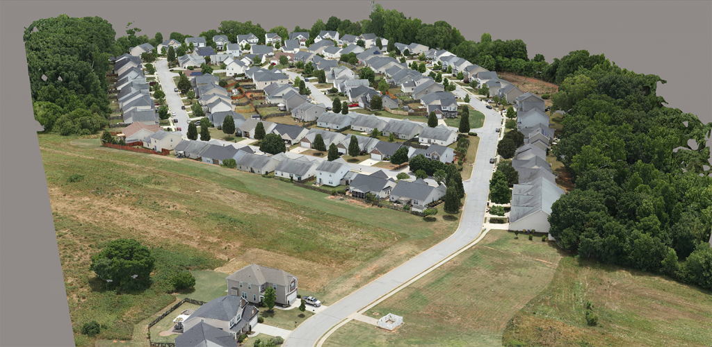
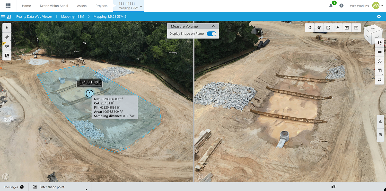
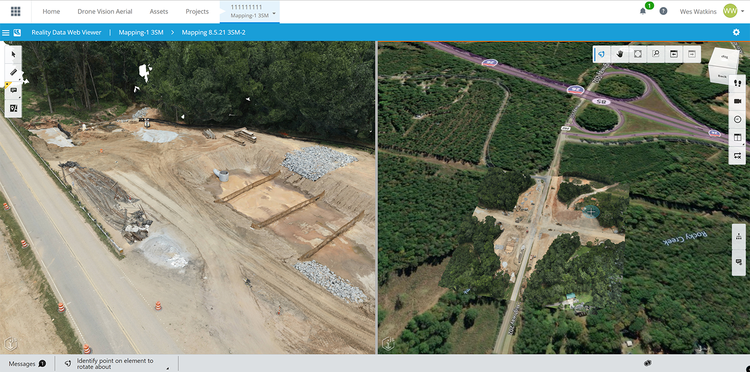
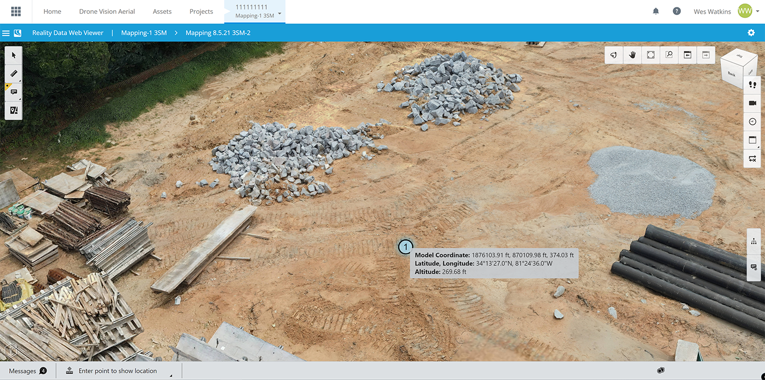
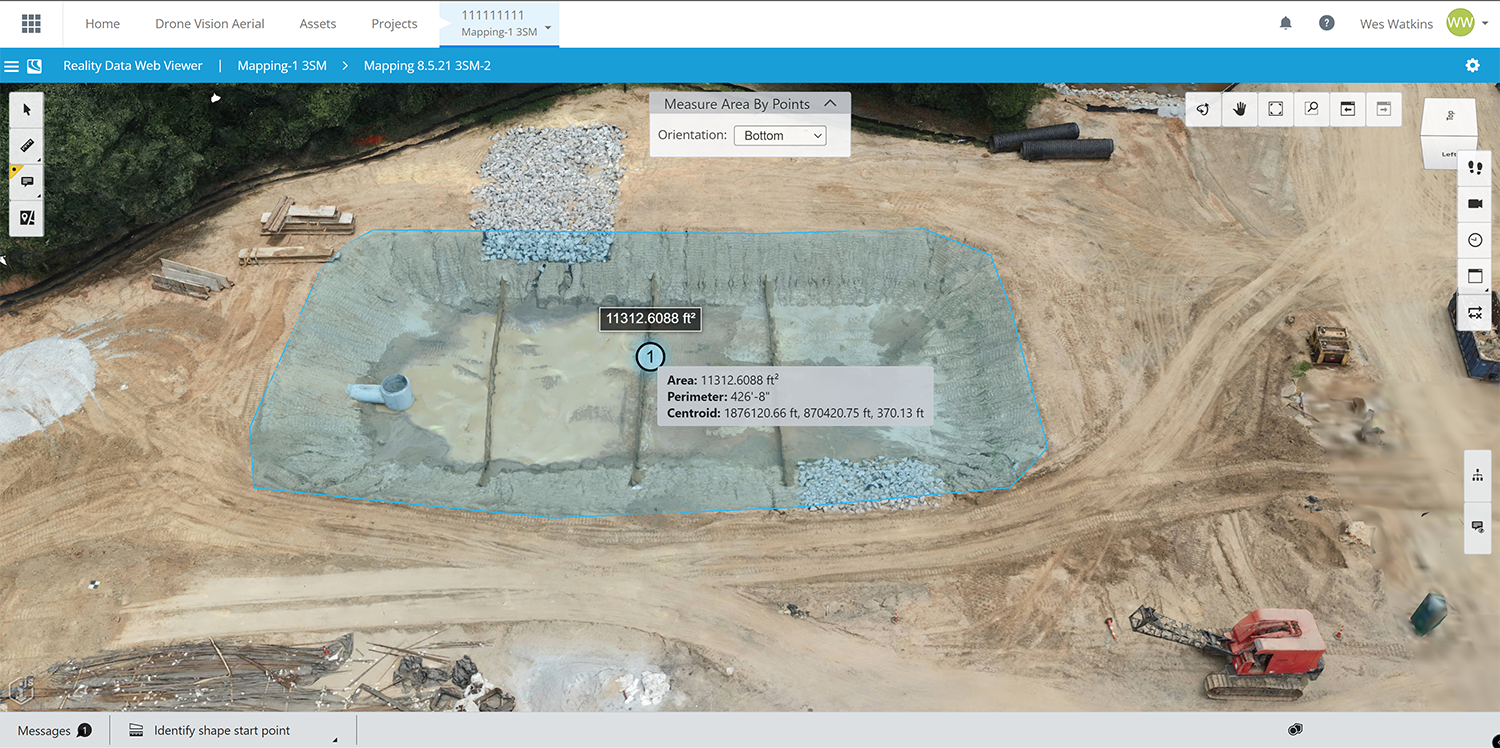
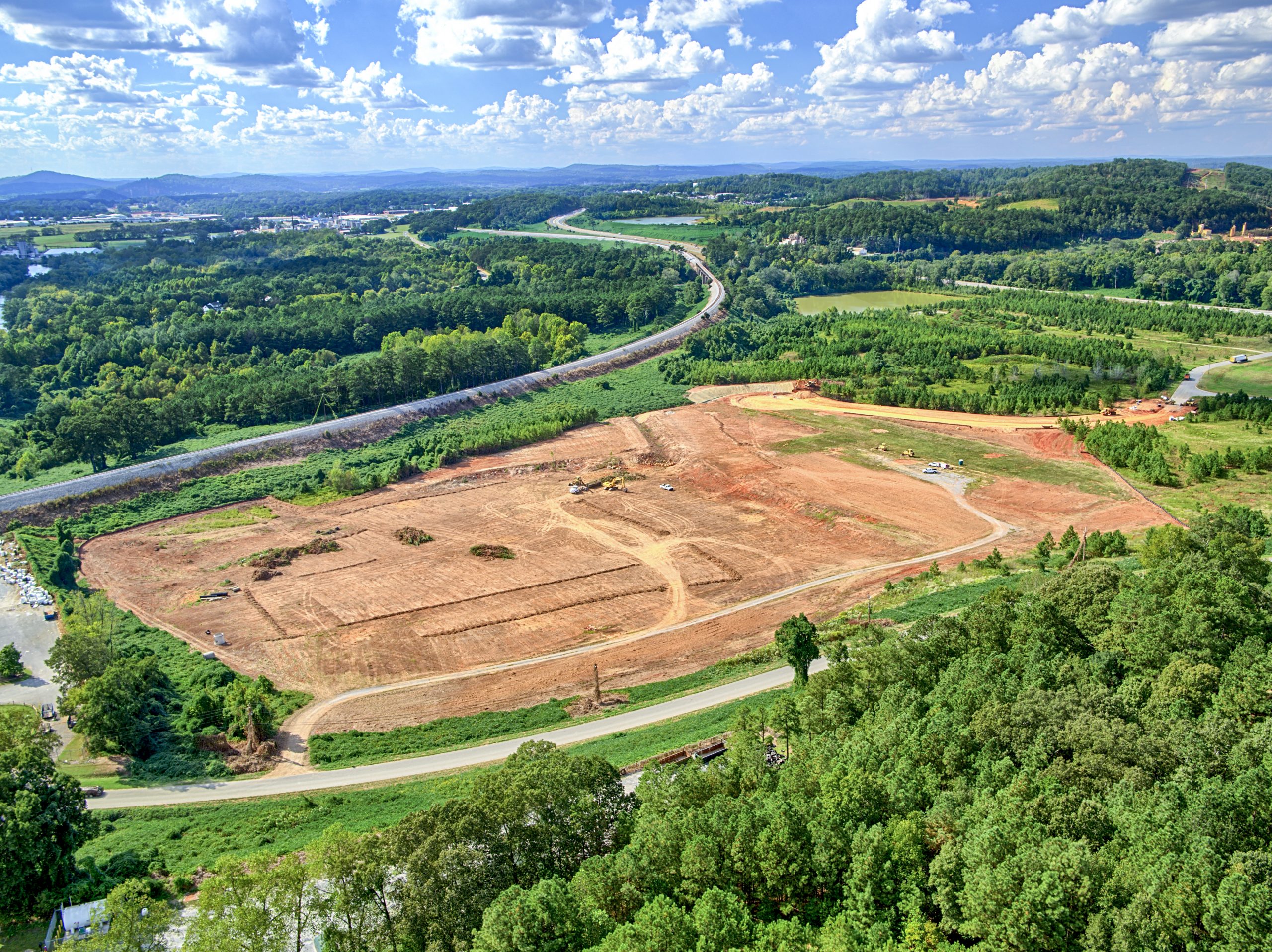
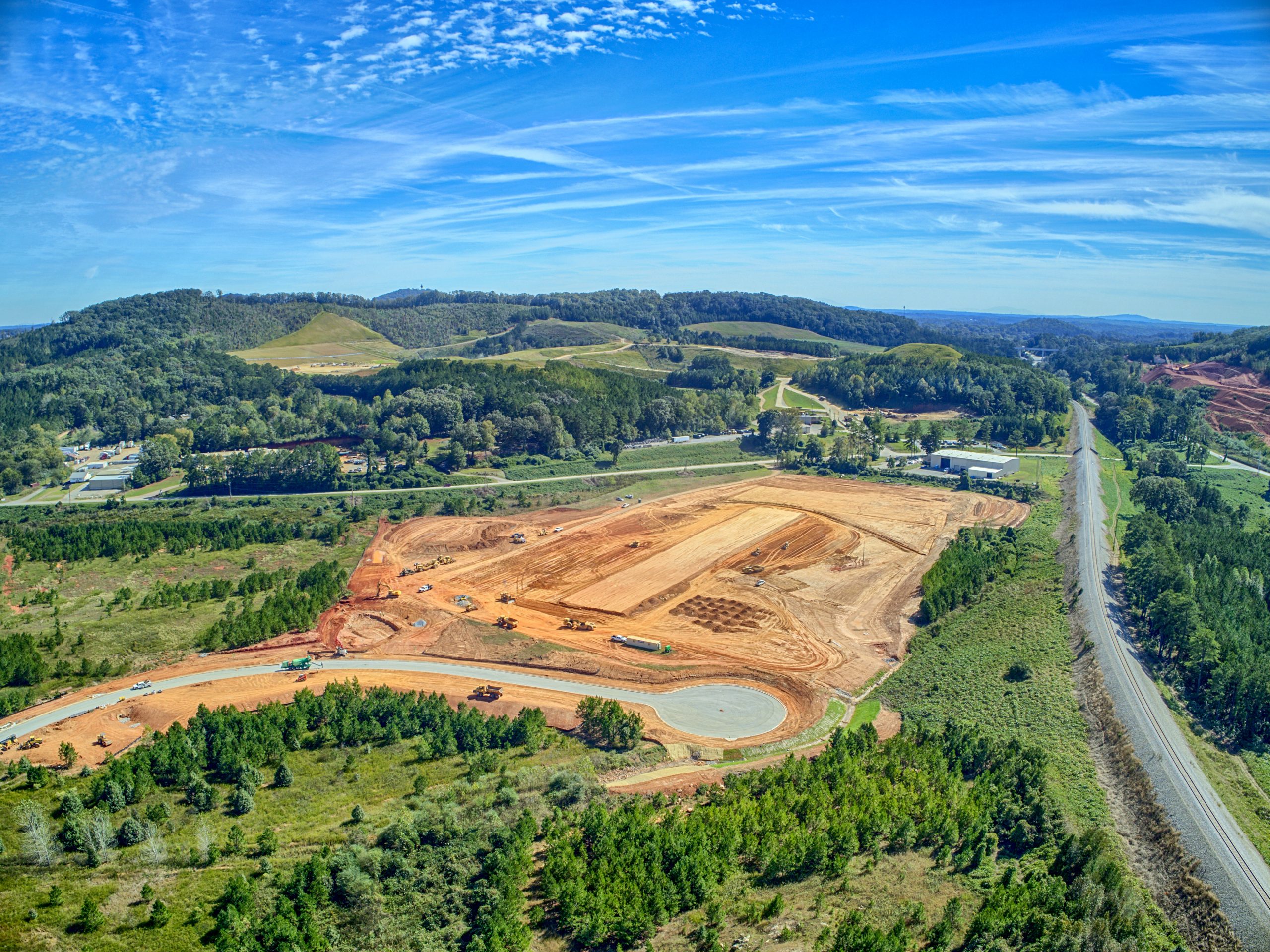
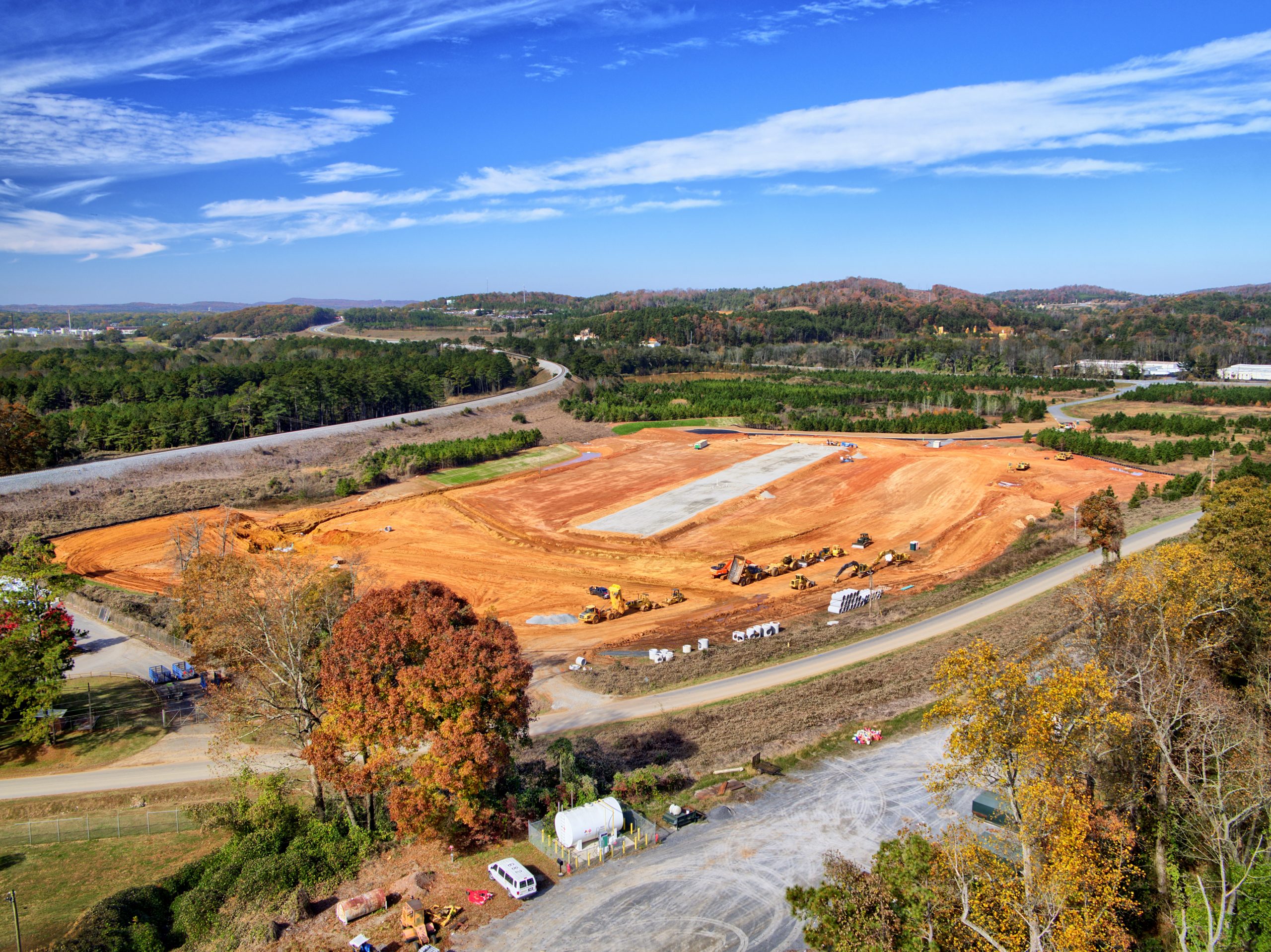
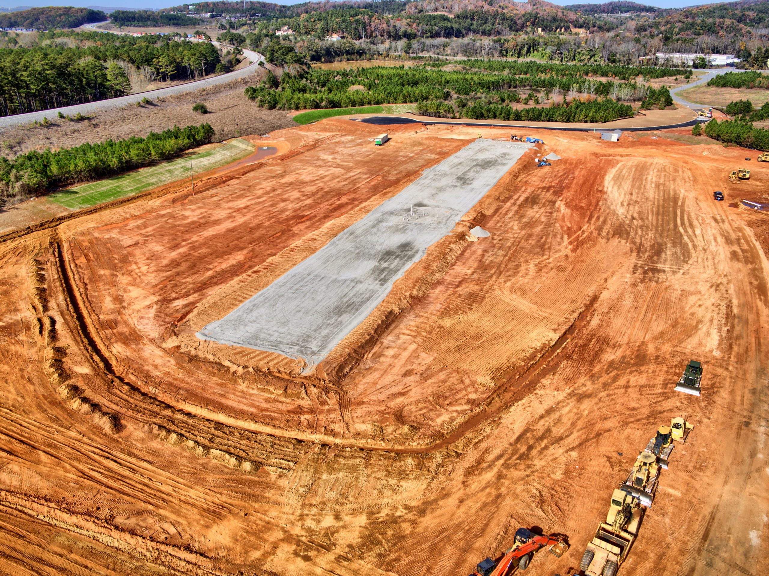
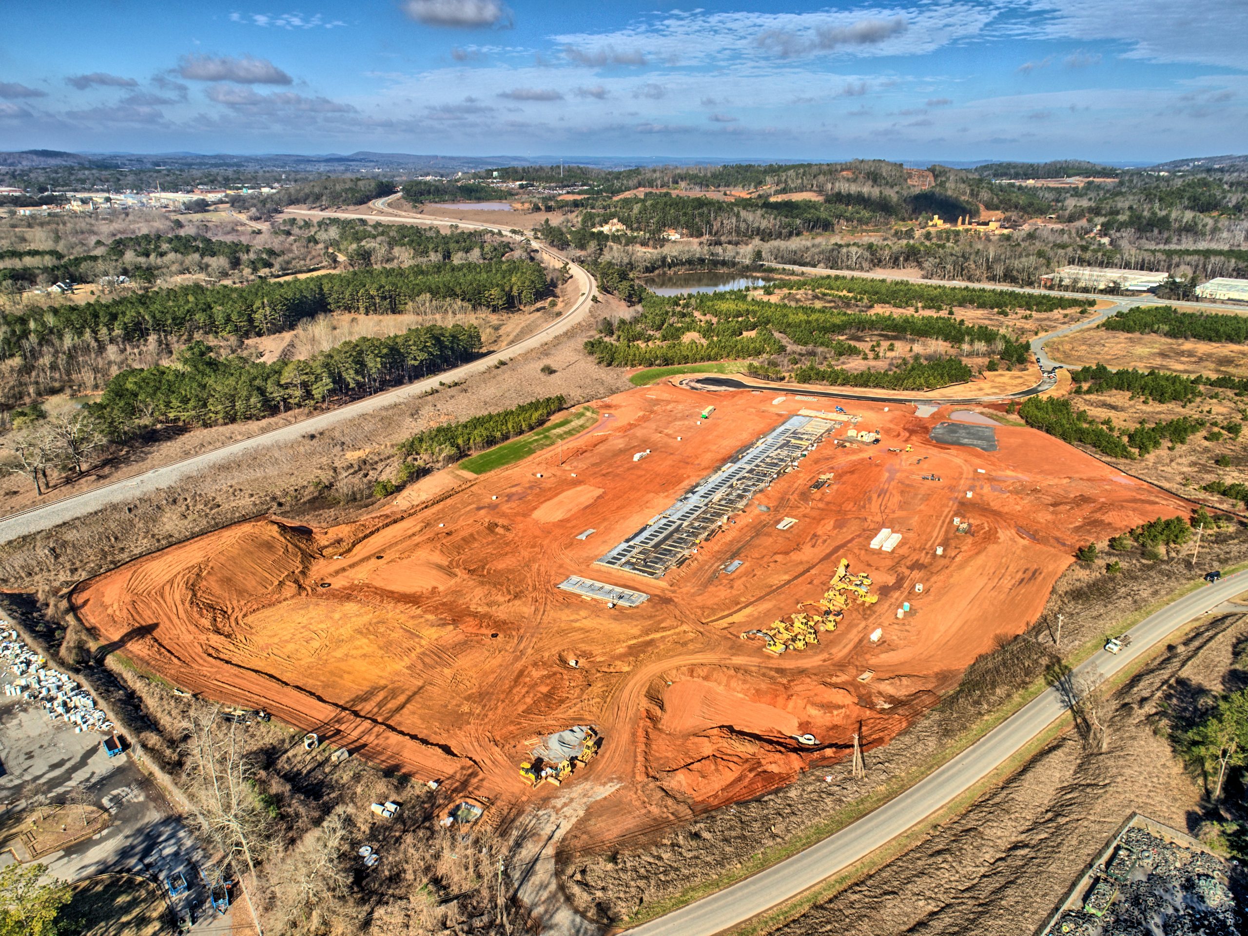
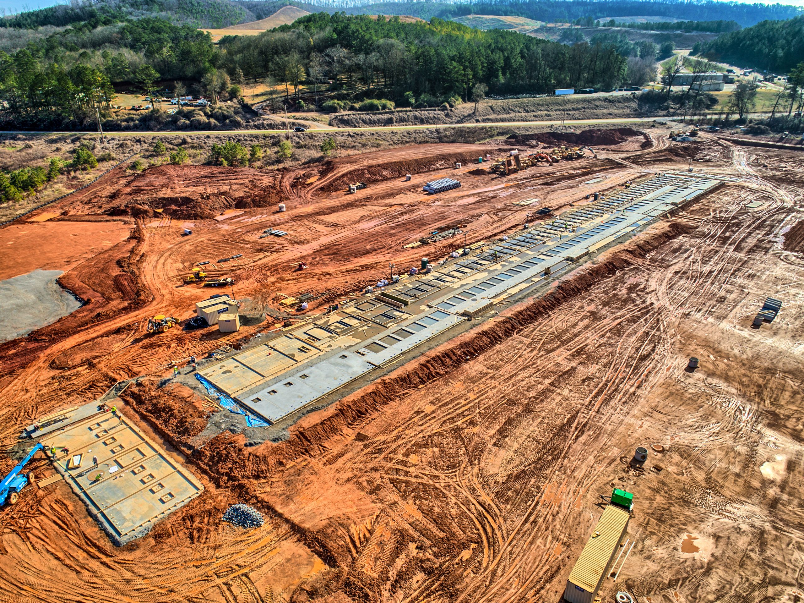
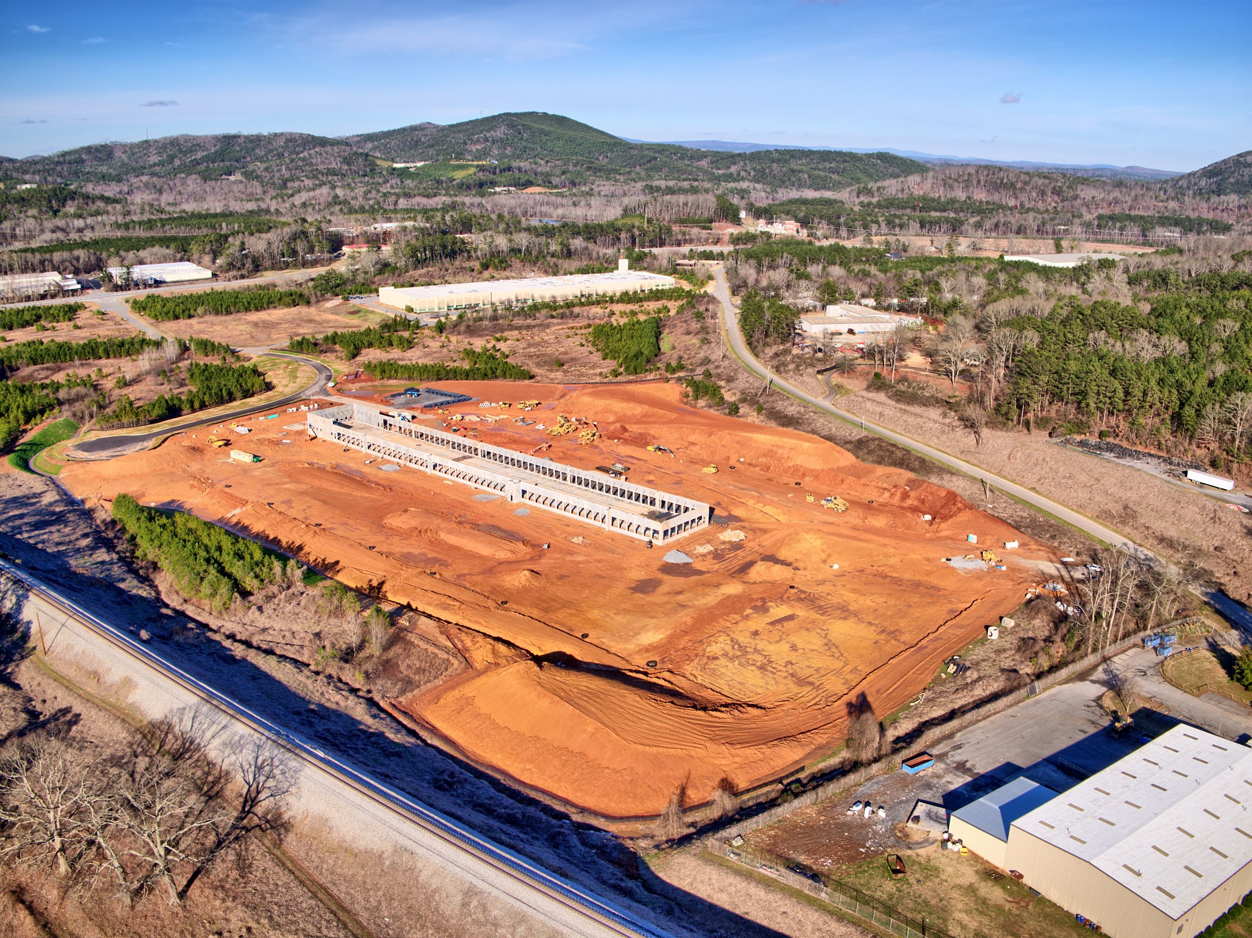
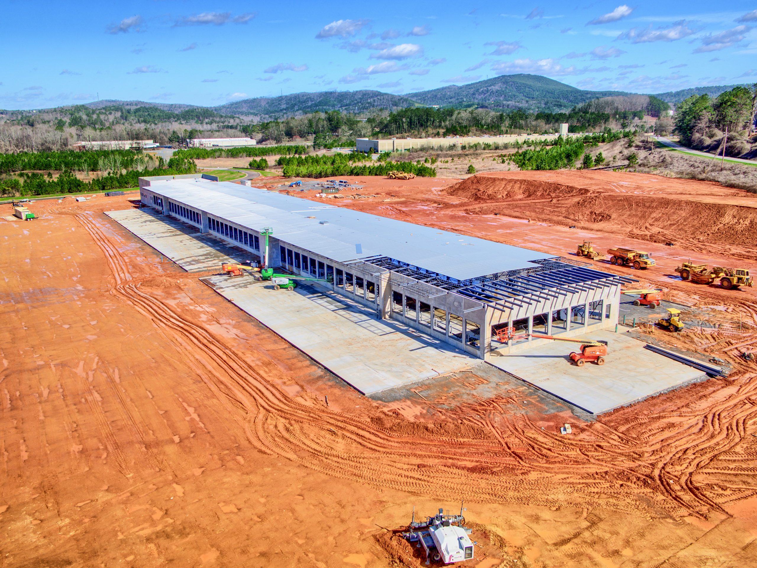
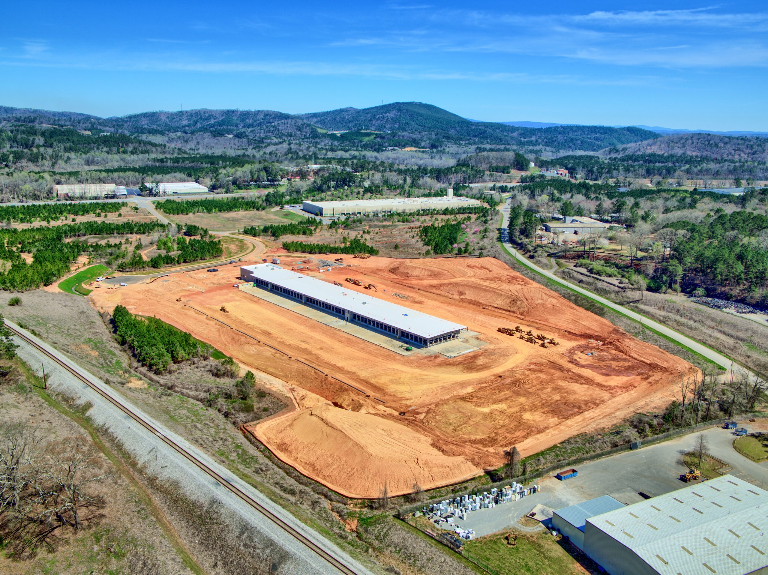
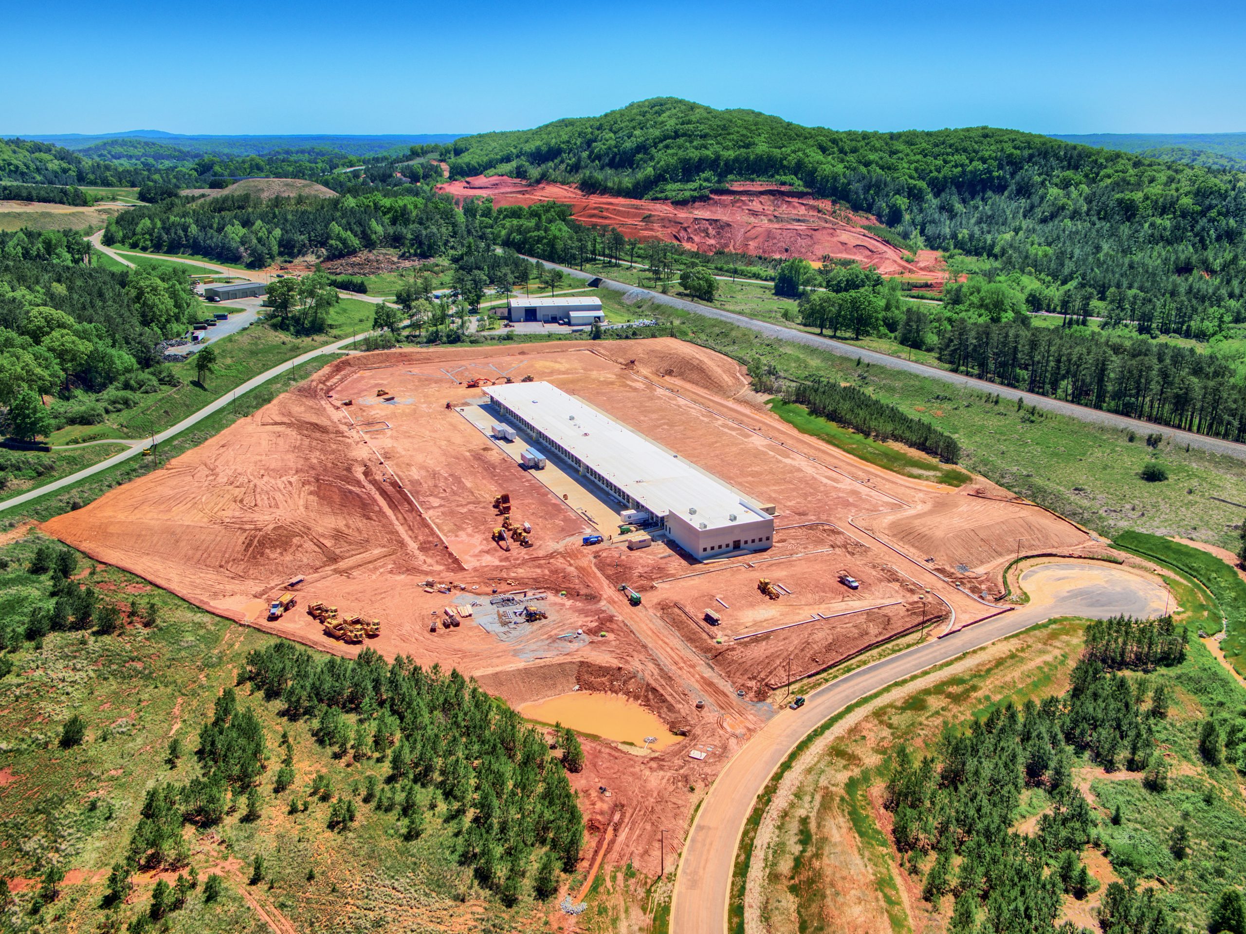
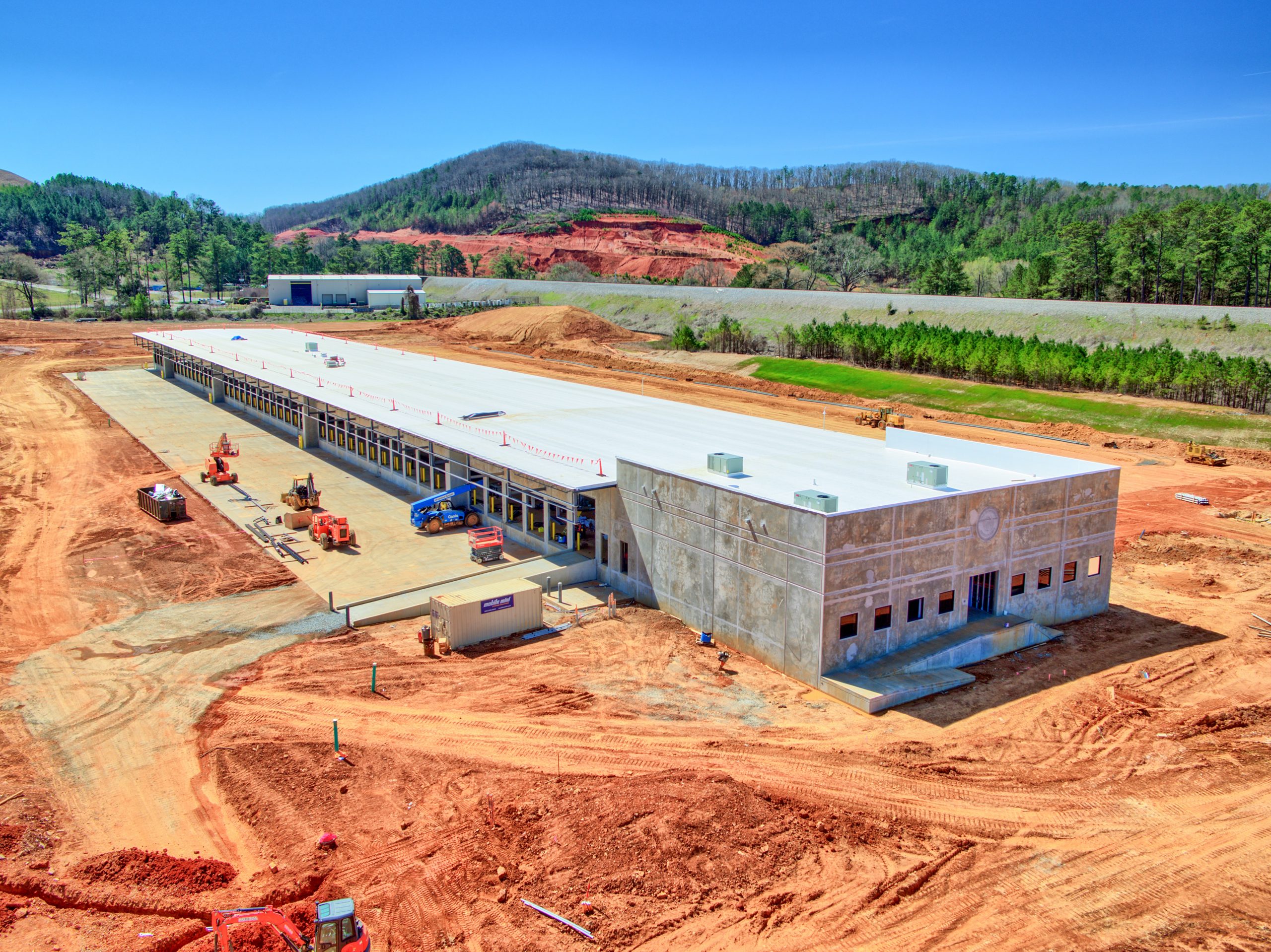
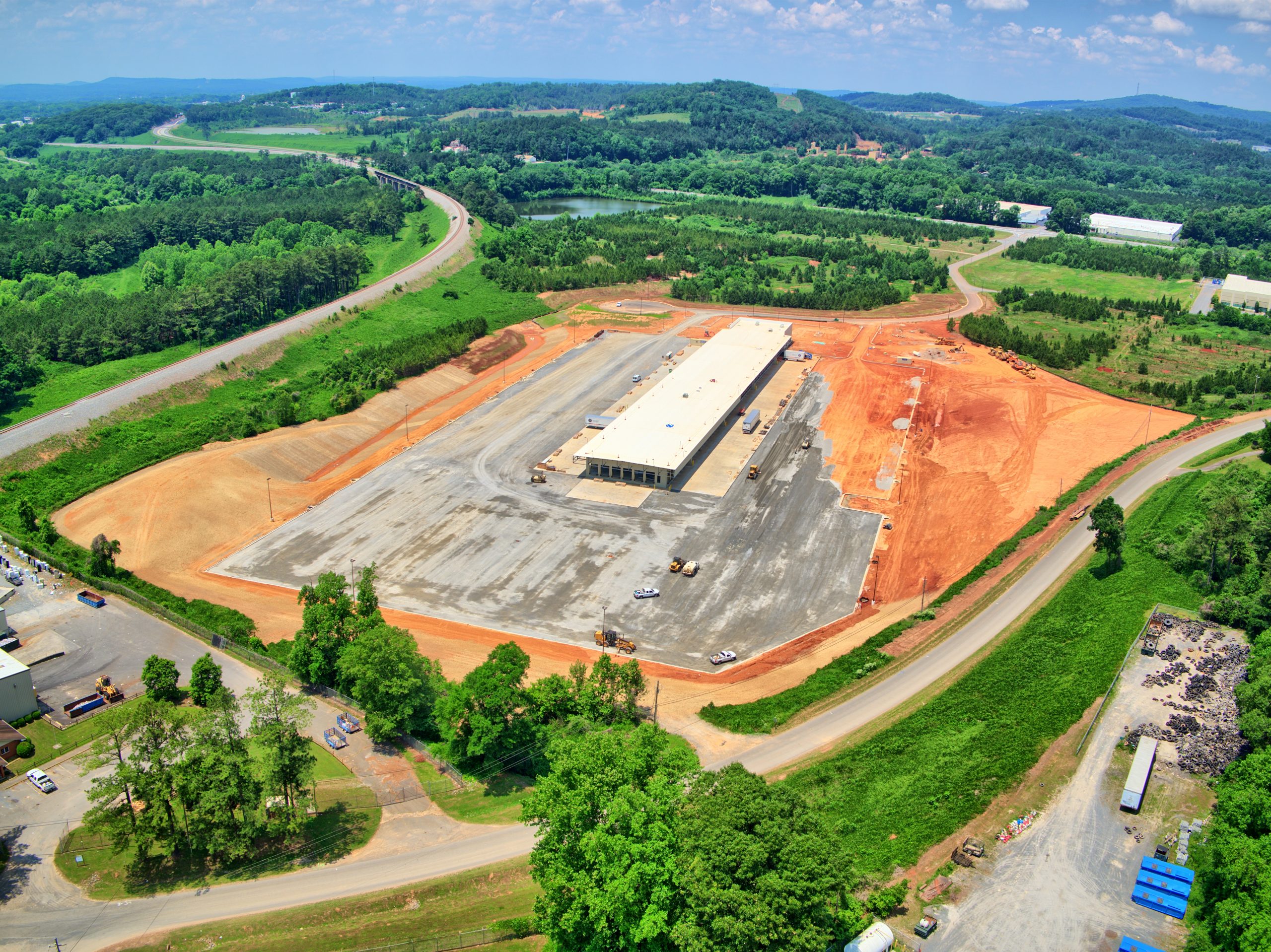
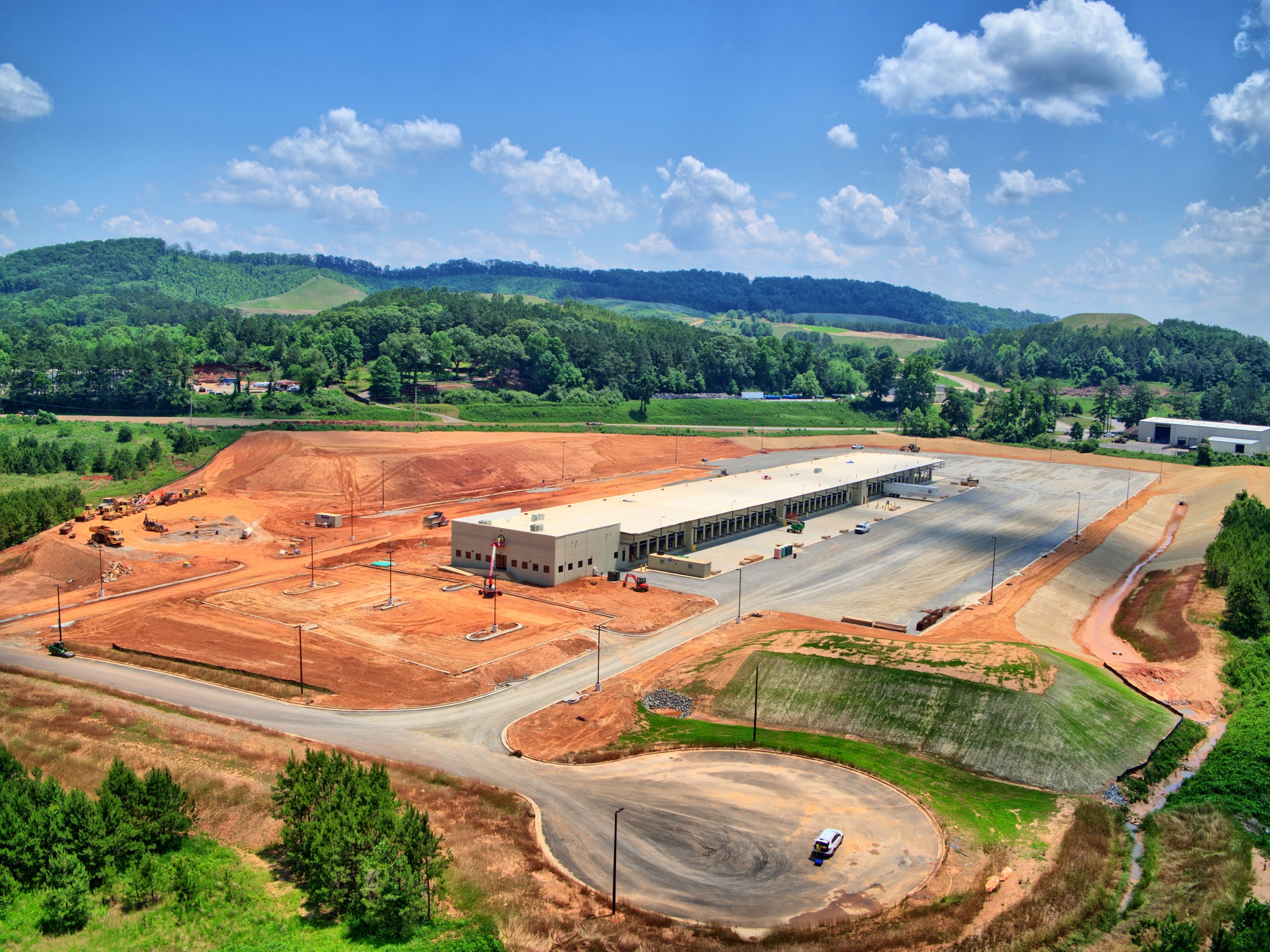
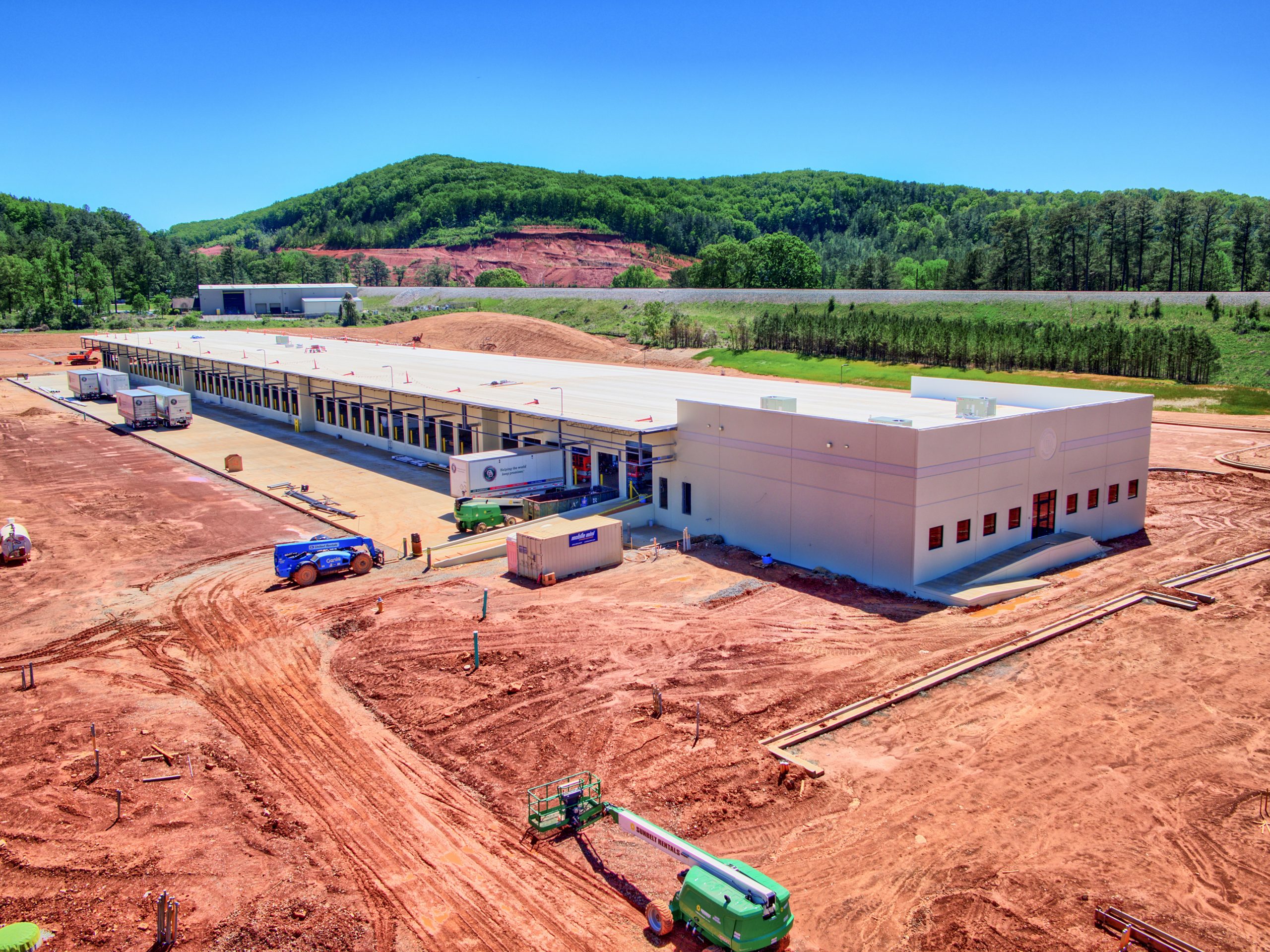
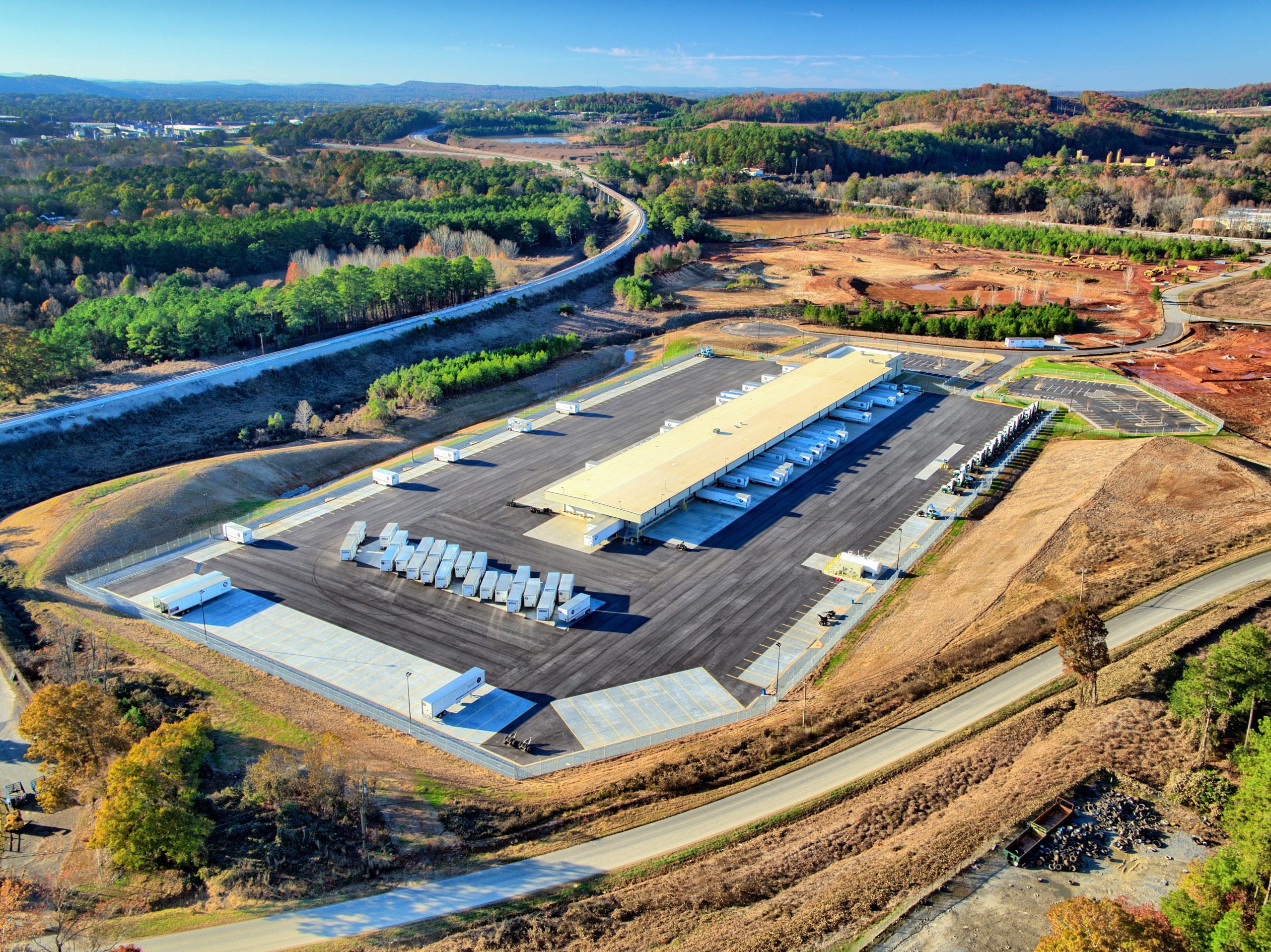
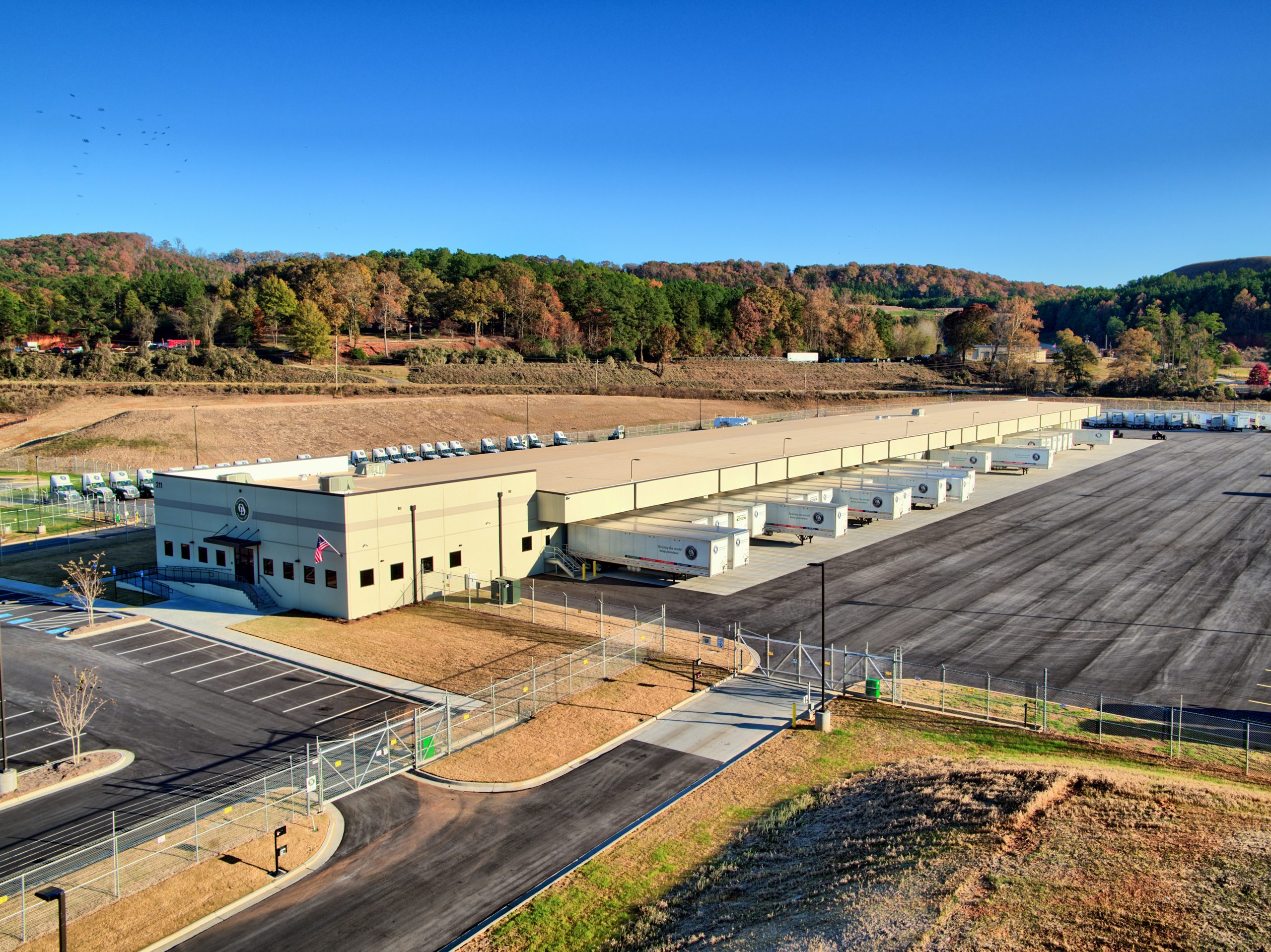
Our 3D Models, also known as “Digital Twins”, offer an incredibly realistic representation of reality.
Our 3D models are created using state-of-the-art technology and ultra-high-resolution sensors that go beyond traditional photogrammetry. Instead of a fixed 90-degree angle, our software is designed to continually adjust angles during capture, capturing details from 45 degrees in front, back, left, right, and 90 degrees down, all while the drone is in motion. This results in exceptional detail from all angles.
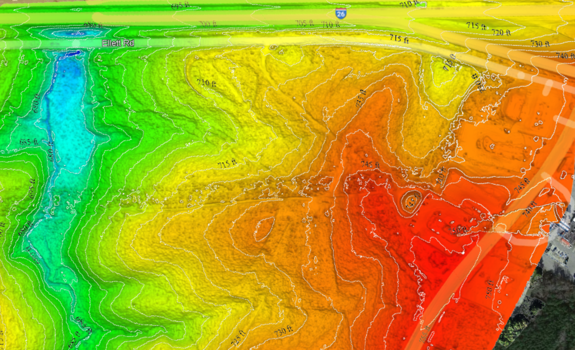
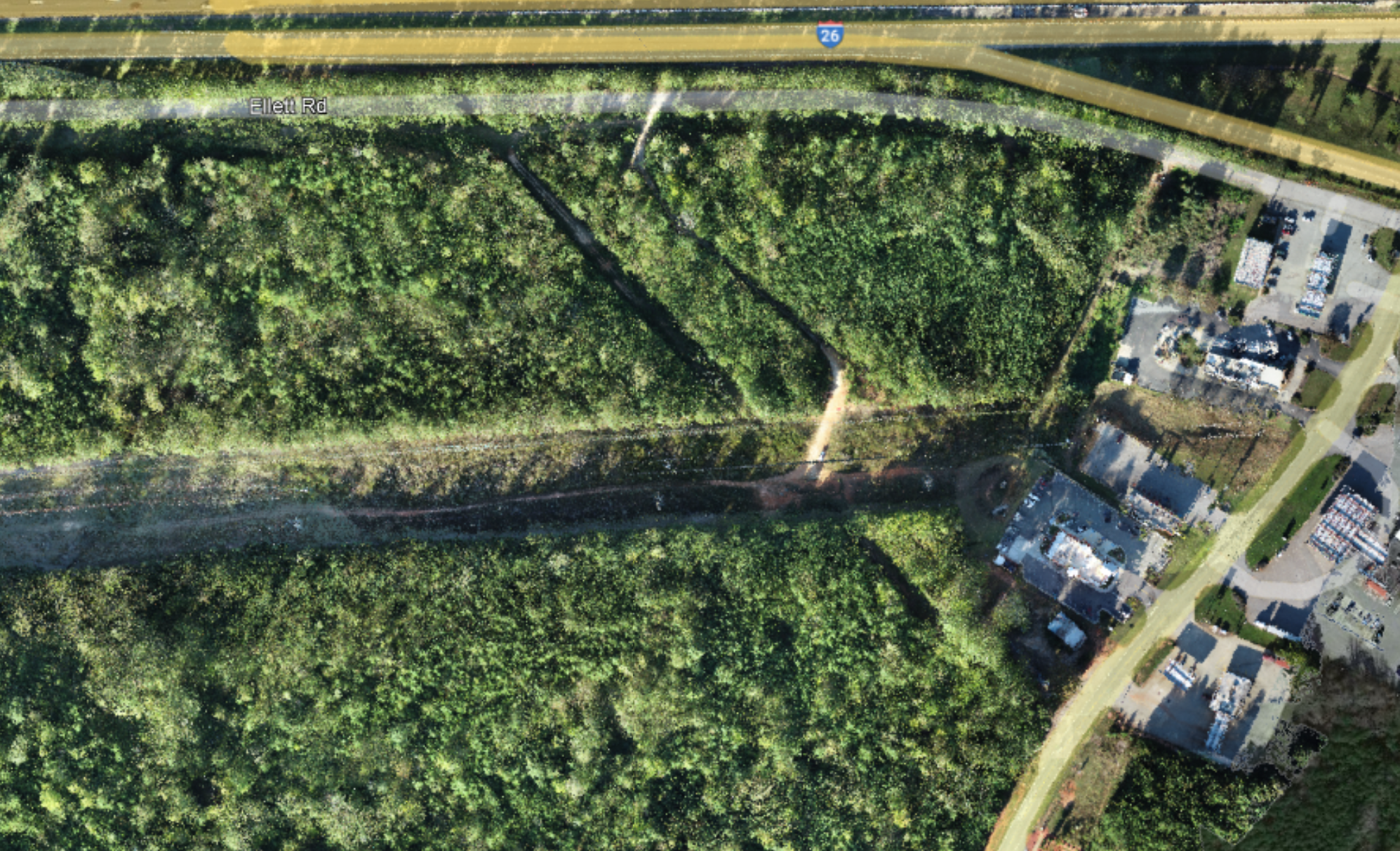
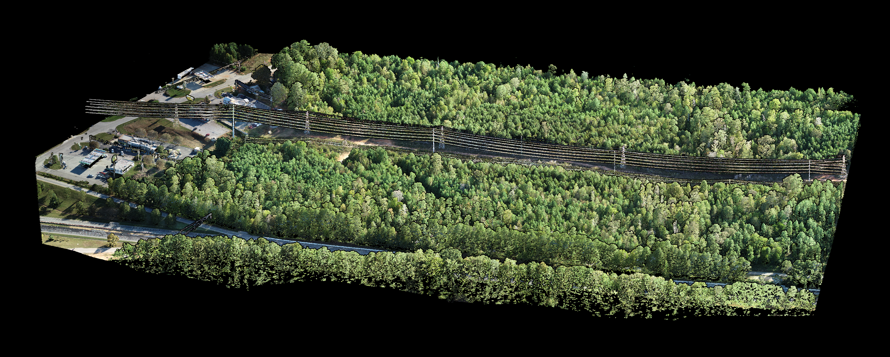
LiDAR is the ideal technique for mapping delicate structures and objects, such as power lines and transmission towers. It is particularly useful in creating Digital Terrain Models (DTMs) and Digital Surface Models (DSMs) due to its ability to penetrate tree and vegetation canopies, revealing details that cannot be seen through standard photogrammetry methods.
LiDAR Digital Terrain Model - Point Cloud Pictured Below
LiDAR Point Cloud - Terrain Model Above
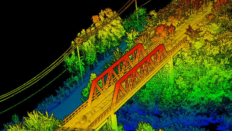
LiDAR Bridge Inspection
Sample Video
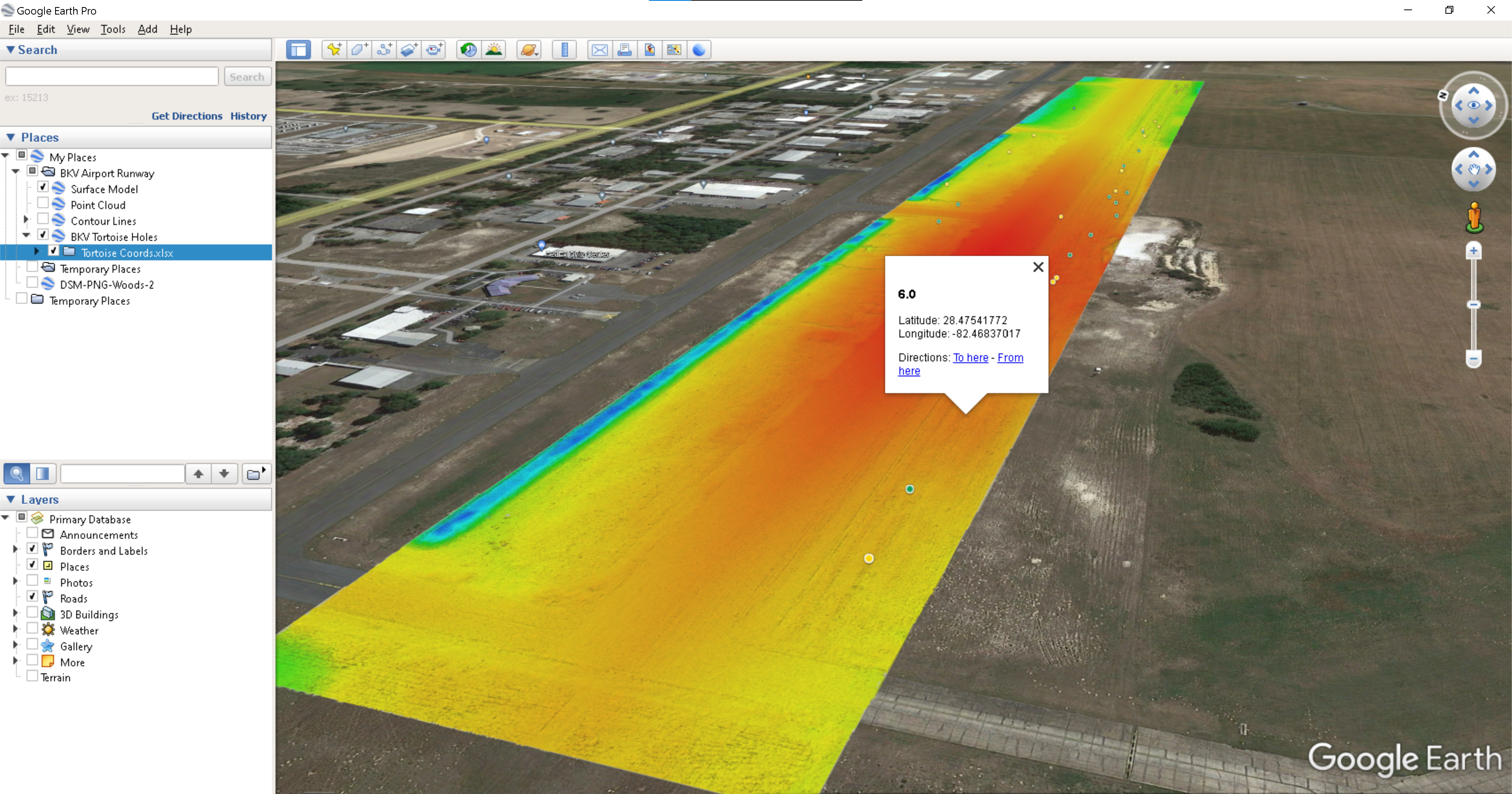
Extreme Accuracies
By combining RTK (Real-Time Kinematics), Ground Control Points (GCPs), and Inertial Measurement Units (IMUs) integrated into the sensor, we attain survey-grade accuracy at the centimeter or millimeter level.


![HDR created and tone mapped with easyHDR 3.12.2: [1] DJI_0855.DNG, [2] DJI_0853.DNG, [3] DJI_0852.DNG, [4] DJI_0854.DNG, [5] DJI_0856.DNG](https://dronevisionaerial.com/wp-content/uploads/2021/10/Twilight-2-scaled.jpg)